
Khevsureti by 4x4: Shatili, Mutso and the Datvisjvari road
A 4x4 route into Khevsureti: the Datvisjvari Pass, tower-village Shatili, Mutso fortress and the Anatori crypts. Season, drive time and what to know.
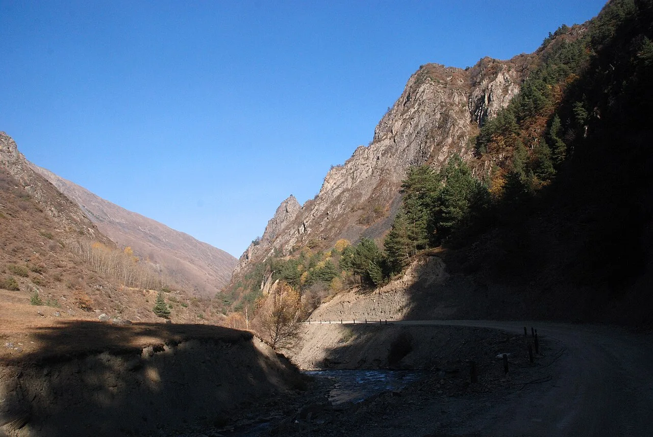
People come to Khevsureti for something that has all but vanished from the rest of Georgia: tower-villages at the end of the world, reached by a single dirt road over the Datvisjvari Pass (about 2,680 m). Tbilisi to Shatili is roughly 150 km and at least four hours, five or six with stops; the pass is only open from late spring to autumn, and you can only cross it in a 4x4. The three targets are Shatili, a fortress that grew into a village in the Argun gorge; Mutso, a stone stronghold rebuilt on a rock ridge; and the eerie Anatori plague crypts between them. Below is how to get there under your own steam, why the road demands respect, what to see, and what to plan for so the trip doesn’t fall apart.
First things first: this is a 4x4-only road. Not “recommended” but literal - the last fifty kilometres are dirt with real drop-offs, and a normal car won’t make it. If you don’t have your own high-clearance vehicle, there are three ways in, and which you pick decides both your budget and your nerves.

Getting there
Marshrutka from Tbilisi. The cheapest option: in season a minibus runs from Didube station to Shatili, roughly 35 GEL per person one way, and as of 2026 it goes on Wednesdays and Saturdays in the morning, returning Thursdays and Sundays. The schedule is seasonal and changes, so confirm it right before you travel. The catch is obvious - you’re tied to two days a week, and there’s no way to do it as a day trip.
Private 4x4 with a driver. The easiest choice if you’re going for a couple of days. You hire a 4x4 and driver in Tbilisi (through a service like GoTrip, or a local driver); the rate is negotiable, a few hundred GEL for the car one way - best to confirm the exact figure, since it depends on the season and route. In return you’re driven door to door, with photo stops, and nothing to arrange yourself.
Organised tour. A two- or three-day tour with transfer and overnights makes sense if you would rather not think about the road or the guesthouses at all. Bringing your own 4x4 is only worth it if you’ve genuine off-road experience: the Datvisjvari Pass is no place to learn.
In spirit, Khevsureti is the closest cousin of Tusheti: the same high mountains, the same slate towers, the same need for a 4x4. The difference is that Tusheti lies further east, over the Abano Pass, while Khevsureti has its own road over Datvisjvari - and the villages here stand even tighter and grimmer.
Season and the road
The whole trip hinges on the pass. Datvisjvari is closed by snow from roughly October to May, and that’s no formality: while it’s under snow, Upper Khevsureti is cut off. The window opens in late spring - in 2024 the road opened in mid-June, in 2025 as early as the first week of May, depending on how fast the snow clears. In 2026 the pass opened in early June, the first marshrutka reached Shatili on 24 June, and regular minibuses started on 1 July. The most reliable months are July, August and September: drier, which means fewer washed-out sections. Early and late in the season, always check road conditions before you go.
Don’t plan a there-and-back in a day - this isn’t that kind of road. Allow at least one night in Shatili, ideally two, so you can reach Mutso and simply breathe at altitude without racing the switchbacks in the dark. In legs it breaks down like this: the first, Tbilisi to Barisakho, is ordinary road, two to three hours; the second, Barisakho over the pass to Shatili, takes about as long again but on dirt, and that’s the leg that eats time and nerves.
Lower Khevsureti: Barisakho and Korsha
From Tbilisi you follow the Georgian Military Road to the Zhinvali reservoir and turn north into the mountains. The first part of Khevsureti is the Lower valley, this side of the pass. Here you pass Korsha, with a small ethnographic museum, and Barisakho - the last village with shops, a cafe and a garage. This is your final staging post: there are no petrol stations higher up, so you fill the tank in the valley and stock up on cash and water.
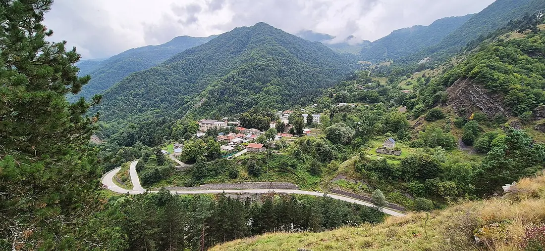

This is also the jumping-off point for a popular side trek if you have a spare day: up to the village of Roshka and the Abudelauri (coloured) lakes below the Chaukhi massif. That detour eats a whole day: from Roshka to the upper, most colourful lake is a three-to-four-hour walk each way, with a fair bit of climbing. But if your goal is Shatili and Mutso, the road bends upward, toward the pass.
The Datvisjvari Pass: the heart of the route
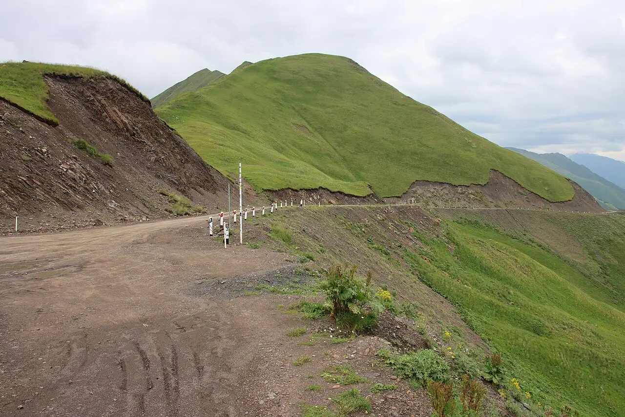
Above Barisakho begins the stretch that makes the 4x4 essential. The name translates as “Bear Cross”; the high point sits at about 2,680 m (sources range from 2,600 to nearly 2,690), and it’s the watershed between the two halves of Khevsureti. The surface is broken dirt cut into the slope, in places with no barrier; snow lingers on the top even in early summer, and the weather turns fast.
.jpg)
A word of caution, no bravado. This is a mountain dirt road with real drop-offs, and it deserves to be taken seriously: don’t tackle the pass tired, don’t speed, and do not try to push through after dark - you want to be in Shatili by evening. If you have any doubts about your driving, hire a local driver; these people have driven it for years and know every bend. After rain the surface can turn genuinely nasty, and the drive stretches out.
Shatili: the fortress in the gorge
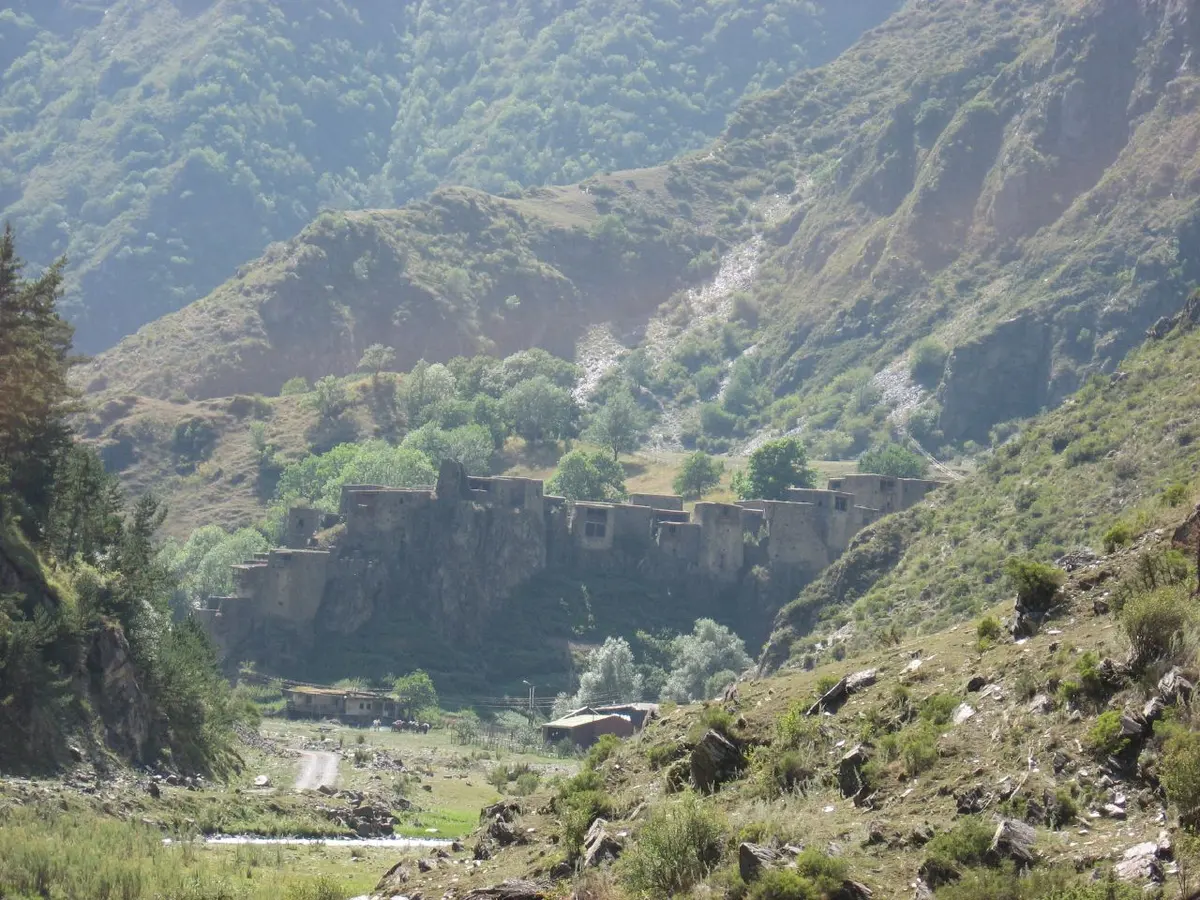
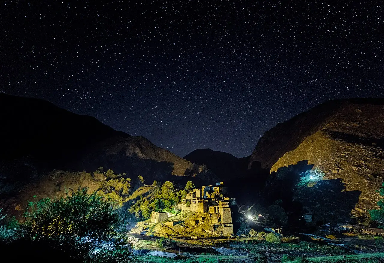
Beyond the pass the road drops into the Argun gorge to Shatili (~1,400 m), the high point of the whole trip. The village reads as a single fortress: some sixty slate towers and fortified houses fused into one wall above the river. There was a reason for building it that way - Shatili sits right on the Chechen border, and for centuries the village was home and stronghold in one. In the early 1950s its people were resettled to the lowlands and Shatili emptied for decades; life has returned now, mostly for the warm season and for visitors.
.jpg)
You sleep in Shatili in guesthouses - some set up inside the old towers themselves, some in houses by the river. It’s simple lodging with home cooking and no frills; power and phone signal come and go, so download offline maps in advance. In the evenings dinner is often laid out at a shared table, which is the best way to get talking with your hosts and other travellers. This is also the hub for day runs around the area, to Anatori, Mutso and further up the gorge.

Anatori crypts: a quiet place with a hard story
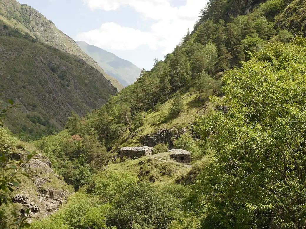
A few kilometres past Shatili, on the way to Mutso, stand the Anatori crypts - probably the most affecting spot on the route. Plague once fell on the village, and to avoid infecting the rest, the sick would walk into these doorless stone huts and stay there to the end. Slate shelves line the walls in several tiers. As the story goes, the whole village of Anatori died out, and the crypts outlived it and still stand. It is an open, silent place; behave accordingly.

Mutso: a fortress back from the ruins
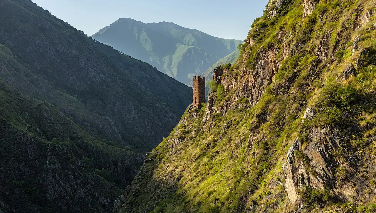
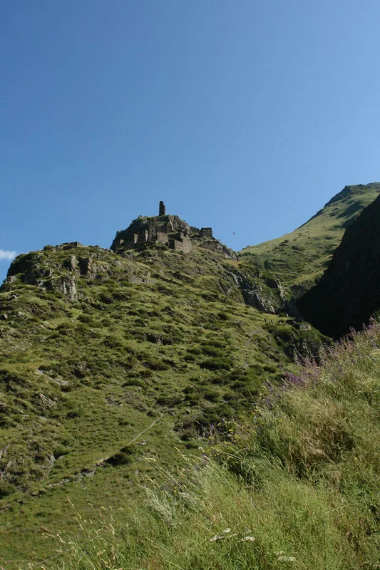
Further up the gorge, about forty-five minutes from Shatili, the road reaches Mutso (~1,880 m). This is a fortress-village abandoned more than a century ago on a steep rock ridge: some thirty fortified houses and four combat towers cling to the crag on vertical terraces. Mutso stood in ruins for a long time, but from 2004 it was painstakingly rebuilt, and in 2019 the restoration won the EU Prize for Cultural Heritage (Europa Nostra). The climb to the upper towers is steep, but from the top the whole Mutso-Ardoti gorge opens up, and you understand why the fortress went here.


What to plan for
- 4x4 and a sober driver only. The dirt road over Datvisjvari doesn’t forgive showing off. Don’t drive it in the evening or when tired; be in Shatili before dark.
- Fuel up in the valley. There’s no fuel above Barisakho; leave with a full tank and a reserve.
- Cash. There are no ATMs and no card payments in Khevsureti - bring enough GEL for the whole trip.
- Signal and power come and go. Download offline maps in advance and don’t count on steady internet.
- Border zone. Shatili and Mutso sit on the border with Chechnya (Russia). A special permit is usually not required for these villages, but it’s a border area and rules can change - check before you go rather than trusting old advice.
- Two nights beat one. You can’t cover the pass, Shatili and Mutso comfortably in a single day; build in an overnight, ideally two.
A 4x4 for this route is easier to line up in advance - see the car rental section. If the idea of high-mountain tower-villages appeals, the closest route in feel is Tusheti over the Abano Pass or Svaneti, Mestia and Ushguli; other plans are in the routes section.
Route day by day
- Days on the road
- 3
- Distance
- ≈165 km
- Budget from
- 35 GEL
- Best season
- June, July, August, September
The route at a glance
-
Tbilisi
Route startThe start, on the Georgian Military Road. Tarmac as far as the Zhinvali reservoir; there you turn north into Khevsureti.
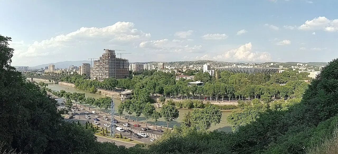
Photo: Yuri Samoylov / Wikimedia Commons, CC BY-SA 4.0 ( source) -
Barisakho and Korsha
95 km from the startstop ≈40 min
Lower Khevsureti. Korsha has a small ethnographic museum; Barisakho is the last village with shops, a cafe and a garage before the climb. No services beyond it.
Photo: Fftehnik / Wikimedia Commons, CC BY-SA 4.0 ( source) -
Datvisjvari Pass
115 km from the startstop ≈20 min
The Bear Cross, about 2,680 m. The divide between Lower and Upper Khevsureti; a dirt road where snow lingers into early summer. Beyond it, the road drops into the Argun gorge.
Photo: Draceane / Wikimedia Commons, CC BY-SA 4.0 ( source) -
Shatili
150 km from the startstop ≈240 min
A fortress-village in the Argun gorge (~1,400 m) right on the Chechen border: about 60 slate towers fused into one wall, and your base for the nights.
Photo: Wim Koolhoven / Wikimedia Commons, CC BY-SA 2.0 ( source) -
Anatori crypts
153 km from the startstop ≈40 min
Plague crypts between Shatili and Mutso: doorless stone huts where, during the epidemic, the sick went to die. The whole village of Anatori perished.
Photo: პაატა შ / Wikimedia Commons, CC BY-SA 4.0 ( source) -
Mutso
163 km from the startstop ≈180 min
An abandoned fortress-village on a rock ridge (~1,880 m), rebuilt in the 2000s: towers and houses stacked on vertical terraces above the Mutso-Ardoti gorge.
Photo: Moahim / Wikimedia Commons, CC BY-SA 4.0 ( source)
Route map
The map with stops loads on click - to keep the page lightweight.
The map didn’t load. Check your connection and refresh the page.