
Georgian Military Road: a drive with stops
The Georgian Military Road from Tbilisi to Kazbegi: where to pull over for photos, road conditions, the Jvari Pass, the Friendship arch and Dariali Gorge.
The Georgian Military Road is not just the way to Kazbegi - the drive is the whole point. It runs 212 km from Tbilisi to Vladikavkaz, of which about 155 take you to Stepantsminda; behind the wheel that is 2.5-3 hours one way in good weather, but with stops you should set aside a full day. What follows is a point-by-point breakdown: where to pull over for photos, what happens to the tarmac up in the mountains, and how this differs from the usual “go to Kazbegi for a couple of days” plan.
If what you want is the overnight version with the climb to Gergeti, see the separate Tbilisi to Kazbegi in 2 days plan. This article is about the road as the attraction: the switchbacks, the pass, the gorges and the viewpoints you skip if you drive straight through.
What the road is, and how much time to allow
The route follows the Tetri Aragvi valley in the south and the Terek valley in the north, crossing the Greater Caucasus at the Jvari Pass. This is a working federal road, not a fenced-off tourist attraction: lorries bound for Russia, marshrutkas and milk trucks all use it. The tarmac is decent for most of the way, but the climb from Gudauri to the pass, and the descent to Kobi, can be broken up and under repair - that’s where the time goes.
Here’s what that means in practice. As far as Pasanauri you make good progress along a flat valley, and it can feel like the whole route is that easy. The real mountain section starts after Gudauri: a run of switchbacks, narrow spots where two lorries can barely pass, and stretches with no barrier. Your average speed here drops to 30-40 km/h, and that’s fine - don’t try to overtake trucks on blind bends. The locals do it constantly, which is not a reason to copy them. The lorries heading for the Verkhny Lars border are their own story: on days when the crossing backs up, they line the verge for kilometres, and on the climb you end up passing them on the oncoming lane. All of this is baked into that “3-4 hours with stops” figure: the driving is slow, and rushing only makes it worse.
A practical day from Tbilisi: leave at 8-9 am, lunch in Pasanauri, reach the Friendship arch and the pass by midday, Stepantsminda in the afternoon, back in the evening. If you want to take your time over the climb to Gergeti and sleep in the mountains, that’s the two-day format, covered in the separate route.
Let me answer the common question up front: drive yourself, or take a driver. If you hold a licence and have any experience of mountain switchbacks, the road as far as Stepantsminda is manageable in an ordinary car - it’s paved all the way to the town, and you don’t need a 4x4 (that only comes in later, on the dirt track up to Gergeti). But if switchbacks with drops make you tense, it’s smarter to hire a car with a driver or grab a seat in a marshrutka from Didube station: behind the wheel you’ll be watching the road, not the scenery you came for. One note on direction: heading south to north you spend most of the drive on the side facing the gorge - better views, but more nerve; on the way back you hug the rock.
Zhinvali and Ananuri: the first half
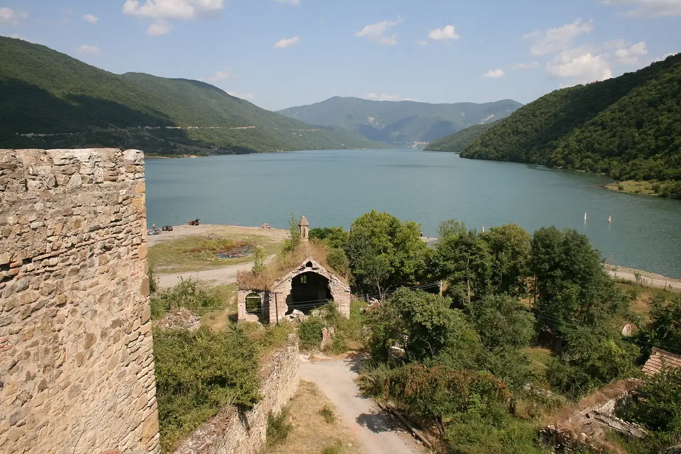
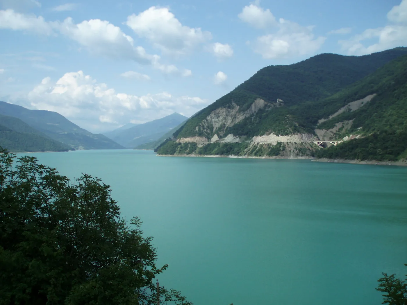
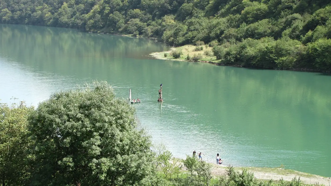
The first fifty kilometres are an easy run down the Aragvi valley. The first real reason to stop comes around the 60 km mark: the Zhinvali Reservoir appears round a bend, a long lake of an improbable turquoise. The best spot for the shot is a short lay-by right before Ananuri; the water is brighter in summer, and by autumn the level drops and exposes the banks.
A couple of kilometres on is Ananuri fortress, right on the shore. This is the case where the sight sits exactly on your route: the towers and two churches rise straight from the water, there’s parking by the road, and entry is free. Half an hour to an hour is enough here; for more on the complex itself, see the Ananuri card.
One tip on photos: the best angle on the fortress with the water is not from the car park but if you walk along the wall to the far tower and climb a couple of metres up the slope. From the car park itself, cars and souvenir stalls creep into the frame. And if you come on a summer weekend, expect tour buses from Tbilisi to arrive at Ananuri - getting here before 10 am is worth it for the empty shots alone.
Pasanauri: lunch at the halfway mark
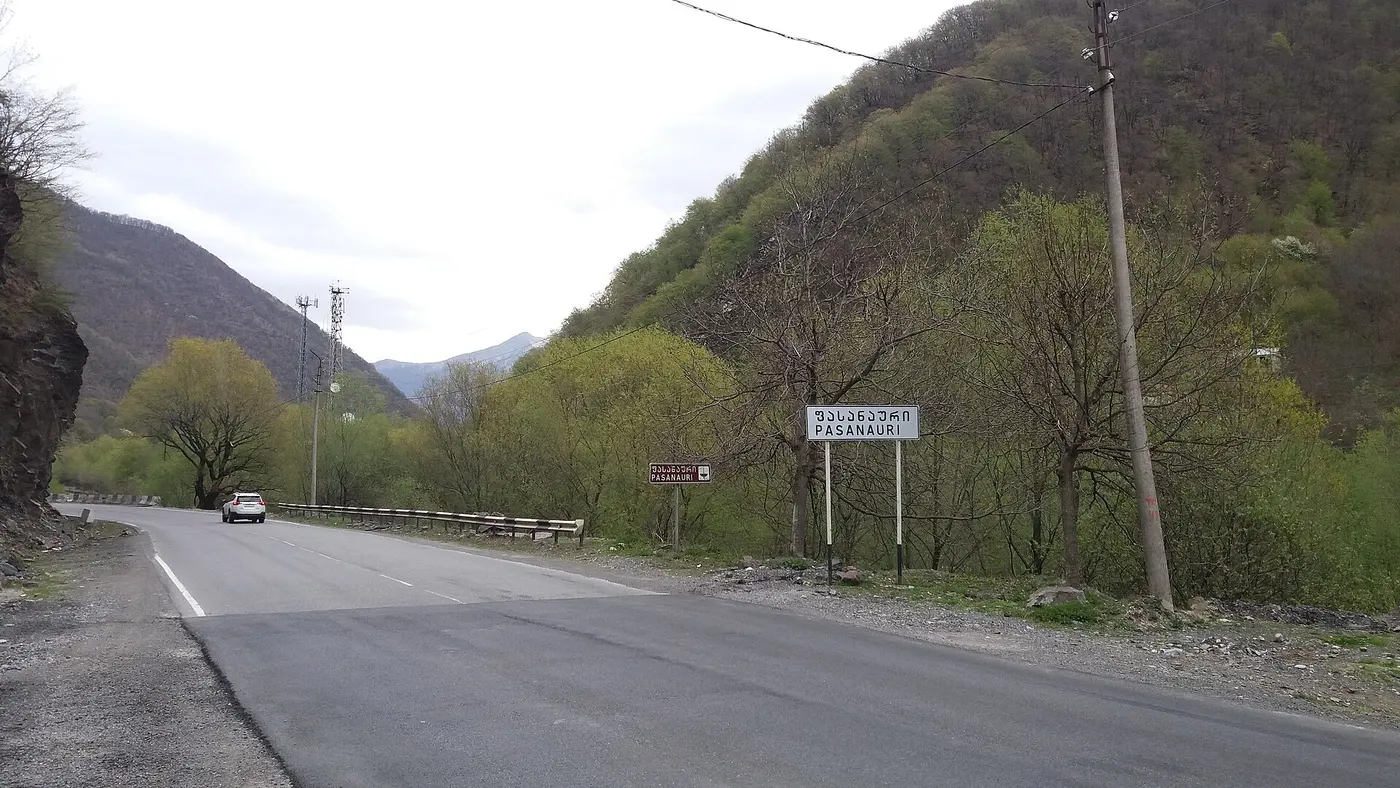
Around the 90 km mark the road passes Pasanauri, the village Georgians reckon is the home of khinkali. It’s a handy, and frankly the only logical, place to eat before the climb: beyond it the cafes thin out and the prices rise. The two Aragvi rivers, Black and White, meet here too - from the bridge you can see the muddy and clear currents run side by side without mixing.
Gudauri, the Friendship arch and the Jvari Pass
After Pasanauri the climbing begins. Gudauri is the country’s main ski resort; in summer the lifts stand idle, but the slopes are green and paragliders hang over them all day. From here to the pass is the most spectacular stretch of the road.
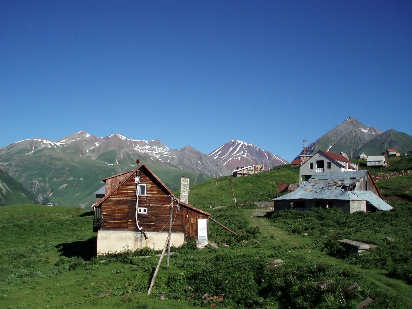
Just past Gudauri is the Friendship of Nations arch, a round viewing platform with a mosaic panorama, built in 1983. You can argue about the politics, but the spot was chosen well: the platform overhangs the Devdoraki gorge, with a drop of several hundred metres below. Come early - by midday it fills with buses, and the parking is small.
A few kilometres higher and you’re at the Jvari Pass, the highest point of the road at about 2,379 m. The pass is open year-round, but the weather up here has a life of its own: it can be 25 degrees and sunny down below while the top sits under wind and a cloud parked on the tarmac. Keep a warm jacket handy even in July.
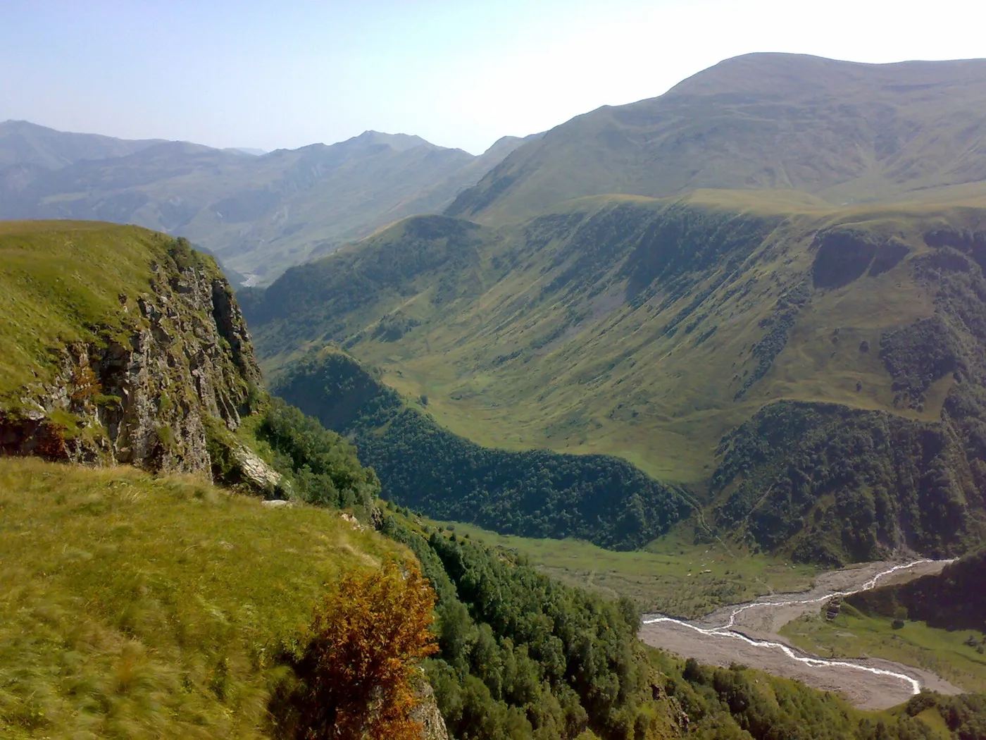
There is one detail at the pass that’s easy to miss: mineral springs by the road, where the rocks are stained rust-red by the iron-rich water. It bubbles up and is perfectly drinkable - locals stop to fill bottles. The climb to the pass is the best part of the road to shoot: if you’re a passenger, keep the camera ready, because the valley views change with every bend and there are few safe places to stop on the switchbacks. For more on the resort and the pass, see the Gudauri card. Travelling without your own car? Marshrutka, shared taxi and booked transfer options, prices and the winter tyre rules for this exact stretch are covered in the Tbilisi to Gudauri guide.
Stepantsminda, Dariali and the border
From the pass the road drops to Stepantsminda (formerly Kazbegi), the last big town. On a hill above it stands Gergeti Trinity Church against Kazbek - the country’s postcard image; the details of the climb up to it are in the Gergeti card. If you’re driving in a day, Stepantsminda is your turnaround point: north of here the Dariali Gorge and the Russian border begin.
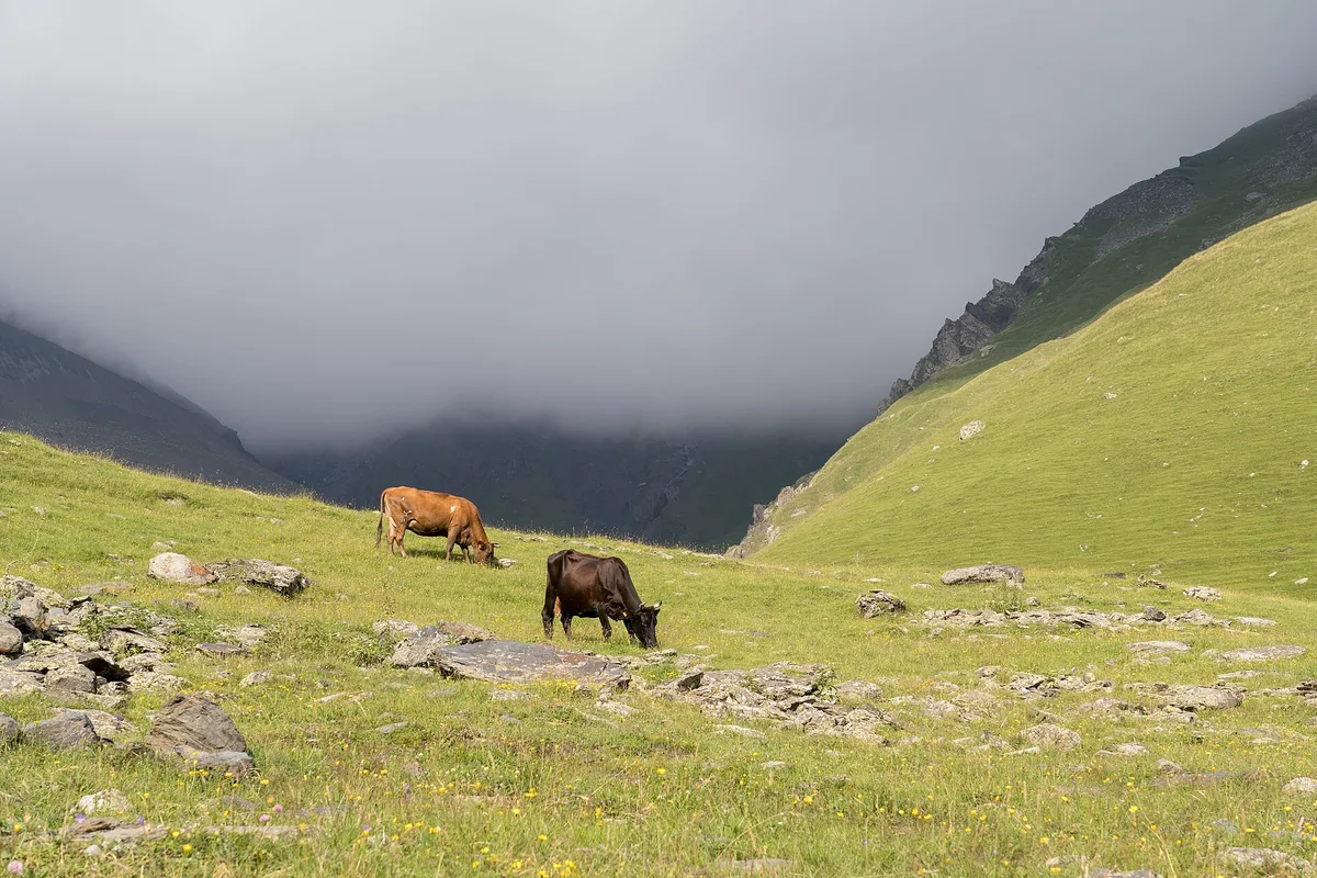
North of Stepantsminda the road enters the Dariali Gorge, a narrow canyon of the Terek with the Russia-Georgia border running along its floor. This is also the only land vehicle crossing between the two countries, Verkhny Lars. There’s little point driving up just to look: it’s a working checkpoint with queues of lorries. If you need the border for a reason, the details are in the Verkhny Lars article.
That said, the short stretch from Stepantsminda towards the gorge is worth driving even if you are not crossing. Along the way are the Dariali monastery on its rock and the mouth of the canyon itself, where the mountains squeeze to a narrow slot and the Terek roars over the boulders. It’s easy to turn around at the monastery; you don’t need to reach the border zone. It adds about forty minutes, but it makes clear why this road was seen for centuries as the gateway through the Caucasus.
One day or two: how to choose
A quick word on the fork many people open this article for. The one-day format suits you if your goal is the road, the pass and the views, and you’re happy to skip the climb to Gergeti or do it quickly by local jeep. Then it all fits into daylight and you’re back in Tbilisi by evening. The two-day version is for walking Stepantsminda without rushing, catching sunrise under Kazbek and hiking up to the church on foot - that needs a night in the town, and it is a different plan, covered in the two-day route. The general rule: if the forecast at the pass is cloudy, do not push it - better to stay the night and catch a clear morning than drive 300 km for a view in the fog.
Things to keep in mind
- The distances and times are rounded guides. The real figures depend on traffic, the repairs on the climb to the pass and how many photo stops you make.
- The pass is unpredictable in winter. The road is officially open year-round, but during snowfalls and avalanches the section near Gudauri is closed temporarily, sometimes for a few hours. Check conditions before you set off.
- Fill up early. Below Pasanauri there are enough fuel stations; higher up they are scarce, so take a full tank while you are still in the valley.
- The weather up top changes fast. A warm jacket and water in the car are no waste even in July.
The easiest way to sort a car for this route is to arrange it in advance - see the car hire section. If you want the same road but with an overnight and the climb to Gergeti, there’s a ready-made two-day plan; for other ideas, see the routes section.
Route day by day
- Days on the road
- 1
- Distance
- ≈155 km
- Budget from
- 90 GEL
- Best season
- May, June, July, August, September, October
The route at a glance
-
Tbilisi
Route startThe start of the drive north. Leave early: the road itself is the attraction, and the stops eat up more time than you expect.
-
Zhinvali Reservoir
60 km from the startstop ≈15 min
The first view worth pulling over for: a long, improbably turquoise lake in green hills. The best spot is the short lay-by just before Ananuri.
Photo: DAVID HOLT / Wikimedia Commons, CC BY-SA 2.0 ( source) -
Ananuri Fortress
70 km from the startstop ≈45 min
A castle complex with towers right above the water - the most photogenic stop of the first half. Free to enter, parking by the road.
Photo: Jonathan Cardy / Wikimedia Commons, CC BY-SA 3.0 ( source) -
Pasanauri
90 km from the startstop ≈45 min
A village around the halfway mark, reckoned to be the home of khinkali. The logical lunch stop before the climb; the Black and White Aragvi rivers meet here.
Photo: Raf24~commonswiki / Wikimedia Commons, CC BY-SA 4.0 ( source) -
Gudauri
120 km from the startstop ≈30 min
A ski resort; in summer, green slopes and paragliders. The switchbacks to the pass start here, and the Friendship of Nations arch with its viewpoint is nearby.
Photo: DAVID HOLT / Wikimedia Commons, CC BY-SA 2.0 ( source) -
Jvari (Cross) Pass
125 km from the startstop ≈20 min
The highest point of the road, about 2,379 m. The climb ends here and the Aragvi valley opens up; the weather changes in minutes, so keep a warm jacket handy.
Photo: Dv0rsky / Wikimedia Commons, CC BY 2.0 ( source) -
Stepantsminda (Kazbegi)
155 km from the startThe final town below Kazbek. The trail up to Gergeti Trinity Church starts here, and you stay overnight if you are not doing it in a day. North of here: Dariali Gorge and the border.
Photo: Alexkom000 / Wikimedia Commons, CC BY 4.0 ( source)
Route map
The map with stops loads on click - to keep the page lightweight.
The map didn’t load. Check your connection and refresh the page.