
Stepantsminda (Kazbegi): where to stay and eat
Stepantsminda (Kazbegi) village guide: centre, hillside or the Gergeti side, where to eat, money and fuel, and how to spread 1-3 nights here.
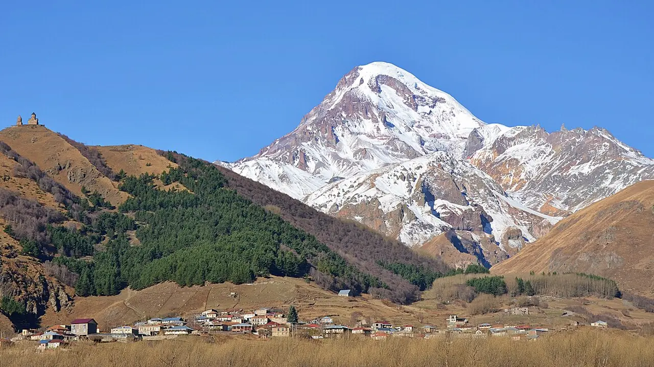
Book in the centre for shops, food and the bus station a few minutes from the door; book on the hillside east of the road for Kazbek from the breakfast table; book in Gergeti, across the Terek, to start the church trail on foot. Stepantsminda - drivers and booking sites still say Kazbegi - sits at about 1,740 metres and takes an afternoon to learn: six cash machines in the village, an Aversi pharmacy on Aleksandre Kazbegi street, the last fuel before the Russian border, a writer’s house-museum. Gergeti church and the day hikes have guides of their own, linked below.
Stepantsminda or Kazbegi: how the village is laid out
The town was officially renamed from Kazbegi to Stepantsminda in 2006, and locals, drivers and booking sites still use both names - neither is wrong. What’s worth getting straight before you book is which side of the river things are on, because the postcard gets it backwards more often than not.
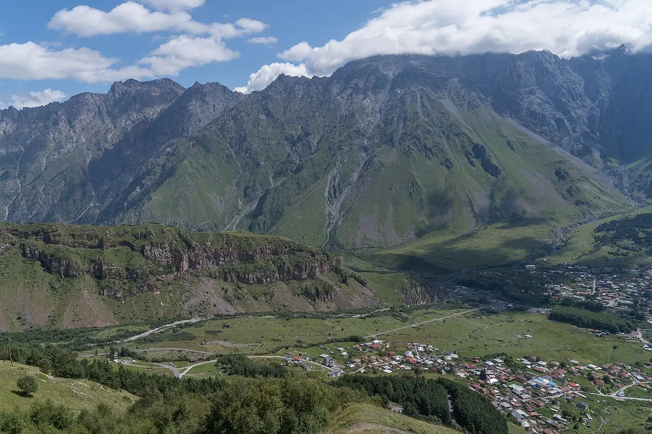
The centre, with Aleksandre Kazbegi Square and the bus station on it, stands on the near bank of the Terek. The slope with the view guesthouses climbs east, away from the water. Gergeti is on the far bank, a separate village that has grown into Stepantsminda’s guesthouse scene - and the Trinity church stands above Gergeti again, further west and higher, at about 2,170 metres. So the church is not on the town’s side of the river at all. It belongs to Gergeti, and that’s where the walk up begins.
There’s no street grid to memorise: one main road runs through the centre and on north toward the border, with lanes branching off to guesthouses on the slopes. If you arrive after dark, that one road is all the orientation you need.
Where to stay: centre, hillside or the Gergeti side
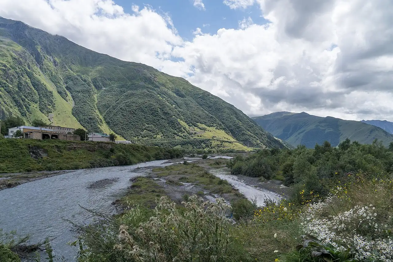
Staying by the square puts shops, food and the bus station a few minutes away, and it’s the easiest address to find in the dark. The hillside east of the road trades those few minutes for the view: some guesthouses look straight at Kazbek from the breakfast table. Gergeti, across the Terek, puts you at the start of the church trail, which matters on the morning you walk up instead of driving, and it empties out in the evening once the day-trippers head back to Tbilisi.
Rooms with an unobstructed view of the peak go first in a clear-weather spell. If that view is the whole reason for the night, book ahead - a guesthouse advertising “mountain views” from a side angle is a different product from a window facing the summit.
Where to eat and stock up for the road
Leaving early for Gergeti or a trailhead? Ask at the guesthouse the evening before. Most will pack something simple for the road given notice, and not every cafe on the square opens before sunrise.
Later in the day the cafes and small restaurants around the square do the mountain staples - khinkali, khachapuri, grilled meat - with a few places pricing for the day-tour crowd and a photo menu to match. A block or two off the square the same meal costs less. The small shops sell water, snacks and what you need for a walk, but the choice is thinner than in Tbilisi, so buy proper gear in the capital and don’t count on finding it here.
Money, pharmacies, transport, fuel
Cash isn’t a problem here. A survey of the village counts six cash machines - two Liberty Bank, two Bank of Georgia and two unbranded - four of them within a few minutes of the square, plus a Liberty branch and a Credo Bank office. The pharmacy most people mean is the Aversi on Aleksandre Kazbegi street, and it isn’t the only one: Pharmadepot and PSP sit on the same few blocks.
Marshrutkas and shared taxis use the bus station on Aleksandre Kazbegi Square, in the middle of the centre, which is also where the drivers wait who run people up to Gergeti.
Driving on toward Verkhny Lars? Fill up here. Stepantsminda holds the last fuel before the Russian border - a SOCAR at the southern entrance and two more in the village - and the road north has none at all, though there isn’t much of it: the frontier is roughly eleven kilometres up the valley. Coming the other way there’s no need to plan around it: the Georgian Military Road corridor carries about a dozen stations, from Mtskheta up through Ananuri and Pasanauri to the Gudauri climb, so the tank can wait for the drive itself.
Staying over: how to spread 1, 2 or 3 nights
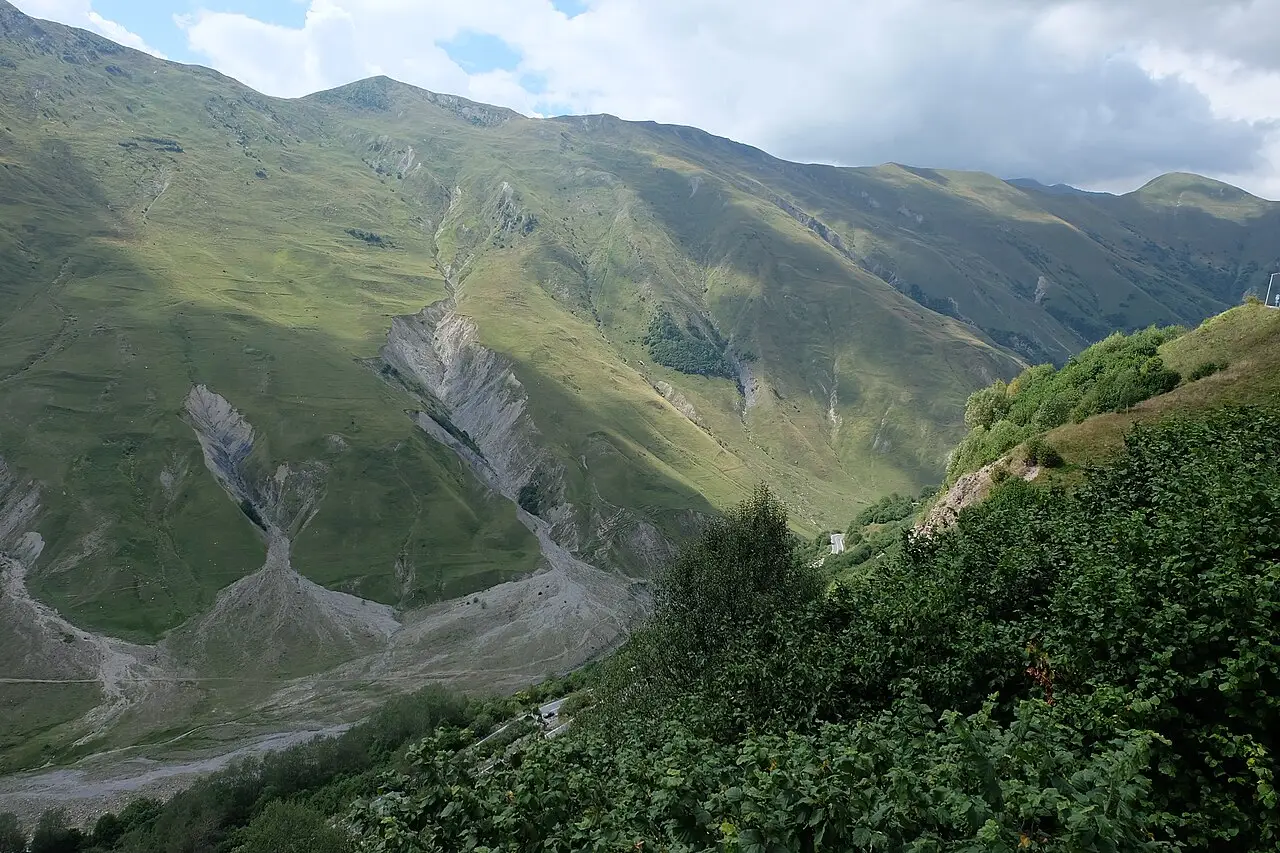
Still weighing a day trip against a night here? The Georgian Military Road route and the Tbilisi-Kazbegi transport guide lay out that choice. Once you’re staying: one night gives you Gergeti at dawn, with the Gveleti waterfall and the Sno stone heads fitting into the afternoon you arrive; two nights add a full day for Juta and Chaukhi or the Truso valley; three nights cover both, or one of them plus a slow day in the village. All four walks are in day hikes from Kazbegi, and for the drive up planned stop by stop, see Tbilisi to Kazbegi in 2 days.
What to see in the village itself
The one indoor stop is the Stepantsminda Historical Museum, which occupies the memorial house of the 19th-century Georgian writer Aleksandre Kazbegi. The national tourism portal describes relics of everyday life in Khevi and the wider Caucasus alongside work by local artists, and mentions that a hoard from the 6th-5th centuries BC was found in the town. Opening hours and the ticket price aren’t published anywhere official, so ask at your guesthouse.
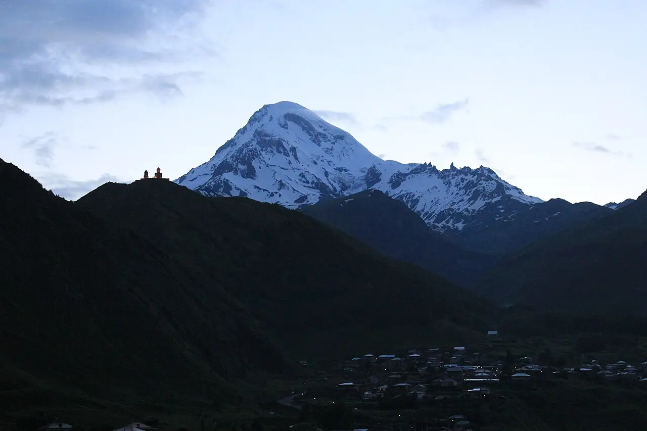
A slow walk along the Terek through the centre, past the market stalls and the older stone houses, fills an hour without a car or a guide. And on a clear evening the best free thing in town is to find an open stretch of road or a terrace and watch the light move across Kazbek - 5,054 metres, and the whole reason half the guesthouses face the way they do - as the sun drops. No ticket and no climb, which is what you want on the day your legs are finished.
The village by season: winter, shoulder season, summer
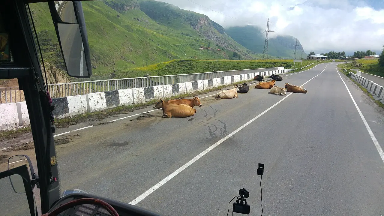
July and August are when every guesthouse, cafe and shared taxi to a trailhead is busy, so book ahead then; outside those two months a room is easier to find at short notice. Winter brings the snow views. And if the Jvari Pass shuts for snow, remember which way it lies: it sits between here and Tbilisi, so a closure strands you in Stepantsminda rather than cutting you off from it. Closures and the ways around them are in the Tbilisi-Kazbegi transport guide, the village as a winter base in Georgia in winter, and month-by-month mountain access in best time to visit.
Nearby
Stepantsminda is the base for Gergeti Trinity Church, the day hikes around Kazbegi and the drive back down the Georgian Military Road through Gudauri and Ananuri fortress. If the border itself is on your route, see Verkhny Lars. Most people arrive from Tbilisi; if the drive up isn’t booked yet, plan it stop by stop with Tbilisi to Kazbegi in 2 days, or pick the car first in car hire.
Photos
On the map
The map loads on click - to keep the page lightweight.
The map didn’t load. Check your connection and refresh the page.
Distance ≈152 km · ~2.5 h
- Tbilisi ≈152 km · ~2.5 h the Georgian Military Road via Ananuri and Gudauri (the Jvari Pass); marshrutkas and cars
Read also

Cities · 10 min read
Ureki: black magnetic sand and a shallow sea
Updated · July 20, 2026Ureki, Guria's sandy resort: black magnetic sand, a shallow warm sea and easy family beaches. Where to stay, when to go and how to get there.

Cities · 10 min read
Borjomi town: the spa resort and a mountain base
Updated · June 16, 2026Borjomi spa town in its wooded gorge: the mineral-water park, the Likani palace, the old railway and a base for Bakuriani and Borjomi-Kharagauli.

Cities · 12 min read
Batumi: beaches, boulevard, what to see and where to stay
 Verified · June 15, 2026
 Batumi, Georgia's Black Sea resort: beaches, the palm boulevard, Alphabet Tower, Piazza and skyscrapers. What to see, where to stay and how long.

Cities · 4 min read
Gori: Stalin Museum and the Uplistsikhe cave city
Updated · June 14, 2026Gori in Shida Kartli, where the Kura meets the Liakhvi: a hilltop fortress, the Stalin museum and the Uplistsikhe cave city nearby.