
Lagodekhi: Georgia's first nature reserve, how to visit
Lagodekhi Reserve in Kakheti: five trails from a waterfall walk to a 3-day trek, gear rental prices, registration rules and how to get there.
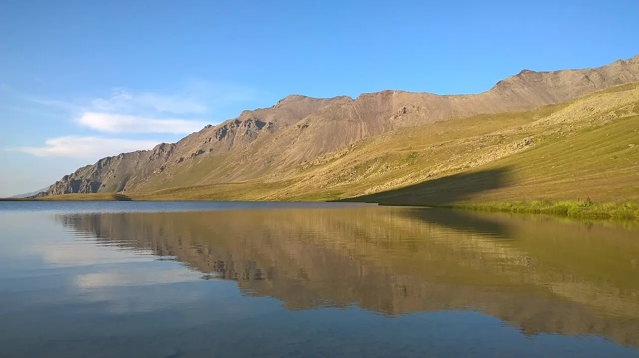
Lagodekhi is Georgia’s oldest nature reserve and one of the best places in the country for hiking: beech forests, waterfalls, alpine meadows and a high-mountain lake on the slopes of the Caucasus, right on the border with Azerbaijan and Dagestan. There’s no ticket booth at the gate: the agency publishes no admission fee for the trails, only prices for gear and beds - unusual for a protected area in Georgia, where the karst sites of Imereti all charge at the door.
Why Lagodekhi matters
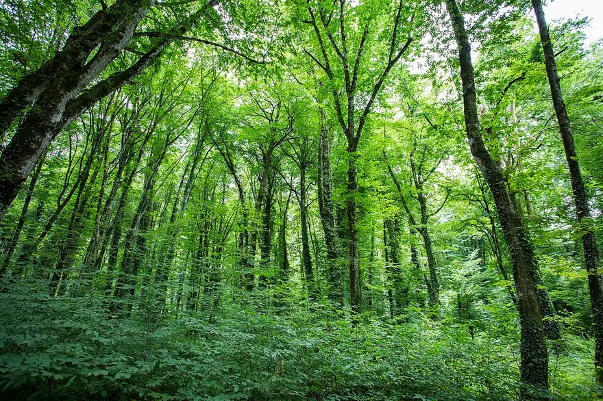
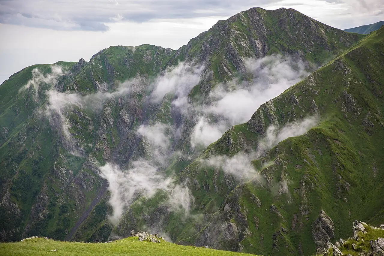
Lagodekhi was established in 1912, the first nature reserve on the territory of what’s now Georgia. Its creation is tied to the Polish naturalist Ludwik Młokosiewicz, who spent decades studying and pushing to protect the forests here before the reserve was finally granted. Today the protected area splits into a strict nature reserve of roughly 19,755 hectares and a smaller managed reserve of about 4,500 hectares, together just over 24,000 hectares. The change in elevation is dramatic, from 590 up to 3,500 metres, so a single hike can move through several natural zones in a few hours: dense beech forest low down gives way to subalpine and then alpine meadow higher up. Around 70% of the territory is forested, and it’s thought to hold close to two-thirds of all plant species found in Georgia. The lowland forest here has been compared to the warm temperate vegetation of the Black Sea region, locally called subtropical, which is an odd thing to hear about a reserve that borders Dagestan’s high peaks, but the two extremes sitting inside one protected area are exactly what make it worth more than a single afternoon. The wildlife matches the terrain’s range: East Caucasian tur and chamois up in the highlands, red deer, roe deer and wild boar lower down, and lynx, brown bear and grey wolf throughout.
Five trails, one reserve
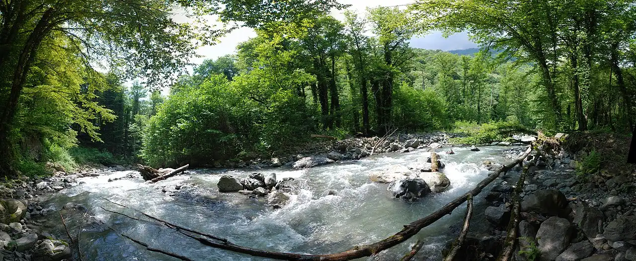
The reserve’s own agency marks out five routes on its English pages and ten on its Georgian ones; the five below are the ones it describes in detail, and they’re genuinely different trips, not five versions of the same walk. The Grouse Waterfall trail (also called Rocho) runs 9.5 km, 3 to 5 hours on foot, through untouched broadleaf forest and rare hornbeam stands to a 6-metre waterfall on the Shromiskhevi River. The Ninoskhevi Waterfall route, known locally as the Great Waterfall, starts from the information centre at Gurgeniani and covers 8.5 km, 4 to 6 hours, ending at a 40-metre cascade that’s genuinely one of the more dramatic ones in the country. Along the way you pass two plants named after the reserve itself and found almost nowhere else, the Lagodekhi gentian and the Lagodekhi snowdrop, plus the odd bird of prey circling overhead. The Machi Fortress trail is 10.5 km, 3 to 4 hours, open to both walkers and horse riders, starting from the village of Matsimi (about 7 km from the main administration by vehicle) and climbing to a medieval Kakhetian fortress - the 11th century is Wikipedia’s date, the agency says only “medieval” - with a family church and underground passages inside its walls. The big one is Black Rock Lake, also called the route to Lake Grdzeli: 48 km over three days, mostly by horse though walking is possible too, with the Meteo shelter (room for 16) used for both nights and the lake itself, also known as Khala-Khel, sitting right on the border with Dagestan at a depth of around 14 metres. The route is seasonal: June to October on the agency’s English pages, June to November on its Georgian one - the lake sits at about 2,700 metres and the pass above it stays under snow for most of the year. A fifth, much shorter Nature Interpretation Path of 600 metres loops through the administration’s own grounds and is built with children in mind.
What it costs and what to bring
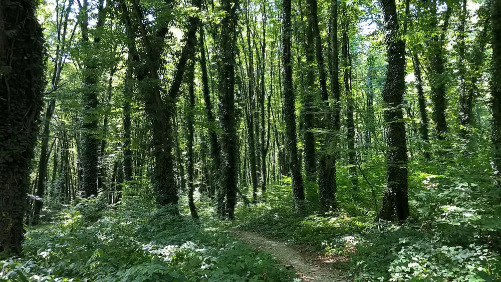
What you pay for is equipment and accommodation: a tent rents for 20 GEL, a backpack for 5 GEL, a sleeping bag for 10 GEL and a camping mat for 5 GEL. A bed in the tourist shelter runs 30 GEL a night (20 GEL for pupils and students), a spot at the campsite is 5 GEL per person on the agency’s English page and 10 GEL on its Georgian one, and a picnic table is 20 GEL. If you’d rather ride than walk, a horse costs 70 GEL, or 100 GEL for the mountain route. Two of the trails need paperwork you have to start before you arrive. The Machi Fortress and Black Rock Lake routes run inside the border zone, and the agency’s Georgian-language page carries a red warning that a special border permit is compulsory there, for Georgians and foreigners alike. You apply to the Border Police through their online form or by e-mail, attaching your planned route and scans of every participant’s passport; going without one is an administrative offence. On the spot you also register with the border guards, not with the park office, and carry a copy of your ID. Don’t treat the 10.5 km walk to Machi as a spontaneous day out: without the permit you can be turned back after a 160 km drive. For the other trails no booking is required, though the park asks you to contact the administration before you set off. The reserve doesn’t allow pets on the trails, and open fires are permitted only in specially marked spots. Coarse trousers and sturdy, high-top boots are the agency’s own recommendation, and it’s worth carrying your own food and water, since there’s nowhere to buy either once you’re past the visitor centre.
Weather, safety and the border zone
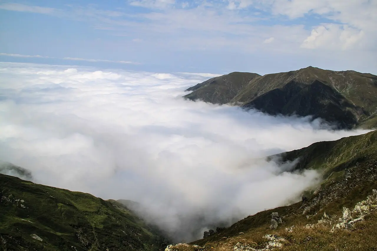
That 590-to-3,500-metre elevation range means the weather at the trailhead and the weather on the ridge can belong to two different days: dress in layers even on a warm morning, since cloud and wind roll in fast once you’re above the treeline, and afternoon storms are common in summer. A few of the marked routes, Machi Fortress and Black Rock Lake especially, run close to the international border with Azerbaijan and Dagestan, which is why those two need the border permit and a check-in with the border guards, not just a word at the park office. Tell the visitor centre which trail you’re on and roughly when you expect to be back, particularly for the multi-day route, where a missed check-in is the easiest way to trigger an unnecessary search.
Getting there and the visitor centre
The administration and visitor centre sit at 197 Vashlovani Street in the town of Lagodekhi itself, in the far east of Kakheti near the Azerbaijan border. It’s about 160 km from Tbilisi via Gurjaani, roughly two and a half hours’ drive, which makes it a realistic day trip from the capital if you pick one of the shorter waterfall routes rather than the multi-day trek. From Kutaisi or Batumi you’re looking at a much longer haul, six to seven and a half hours, mostly because there’s no way around going via Tbilisi first. Telavi, closer to the middle of Kakheti, is a comfortable base if you’d rather split the region into two or three shorter days instead of one long push out and back, and it sits close to the Alaverdi monastery, a welcome break from the driving with a stop that has nothing to do with hiking.
Which trail fits your trip
If you have half a day and want a clear payoff, the Ninoskhevi Waterfall route is the one to pick: it takes longer than the Grouse walk even though it’s a kilometre shorter, and the 40-metre cascade at the end earns that extra hour. If you’re short on time but still want a proper hike, Grouse Waterfall is the easier of the two, though at 9.5 km it still takes three to five hours. Machi Fortress suits anyone who’d rather see history than water, and it’s the only one of the shorter trails open to horse riders as well as walkers. Black Rock Lake is a different category of trip entirely: three days, a reasonable level of fitness, a border permit arranged in advance and a season that closes for the winter. Before any of them, ask the administration about current trail conditions, and save 112 - the emergency number the park itself publishes. Mountain weather in this part of the Caucasus turns quickly, especially on the high border routes. Either way, a rental car makes the drive out from Tbilisi or Telavi far simpler than relying on marshrutkas - see the car hire section for how to arrange one, and more of the country’s outdoors is in the things to see section.
Photos
On the map
The map loads on click - to keep the page lightweight.
The map didn’t load. Check your connection and refresh the page.
Admission and opening hours
- Admission price
- No entry ticket for the trails; equipment and services are paid separately - tent 20 GEL, backpack 5 GEL, sleeping bag 10 GEL, camping mat 5 GEL, shelter bed 30 GEL (20 GEL for pupils/students), campsite 5-10 GEL per person, picnic table 20 GEL, horse 70-100 GEL
- Opening hours
- Reserve open year-round; the multi-day Black Rock Lake route runs June to October on the agency English pages, June to November on the Georgian one
A compulsory Border Police permit, applied for before you travel, and on-site registration with the border guards are required for the Machi Fortress and Black Rock Lake trails; carry a copy of your ID. No pets, no open fires outside designated spots.
Details checked: September 12, 2026
Distance
- Tbilisi ≈160 km · ~2.5 h via Gurjaani
- Kutaisi ≈380 km · ~6 h approximate, via Tbilisi
- Batumi ≈510 km · ~7.5 h approximate, via Tbilisi
Read also

What to see · 10 min read
Skiing in Georgia: Gudauri vs Bakuriani
Updated · September 5, 2026Gudauri or Bakuriani: 2025/26 day passes 70 vs 55 GEL, elevations, last season dates, who each resort suits and how to get there.

What to see · 7 min read
Svaneti travel guide: Mestia, Ushguli and towers
Verified · August 25, 2026Svaneti mapped: Mestia vs Ushguli, tower villages, season, and how to link town guides, the trek, and the road from Tbilisi.

What to see · 9 min read
Resorts near Batumi: Gonio, Kvariati & Tsikhisdziri
Updated · September 2, 2026Where to stay near Batumi for cleaner, quieter beaches: Gonio and its Roman fort, Kvariati for diving, and secluded clifftop Tsikhisdziri - how to choose.

What to see · 10 min read
Georgia with kids 2026: family beaches & resorts
Updated · July 18, 2026Georgia with kids: sandy, shallow beaches up north (Ureki, Shekvetili, Kobuleti), amusement parks, when to go and how to plan a family trip.