
Mestia to Ushguli Trek: 4-Day Hiking Guide
The 4-day Mestia to Ushguli trek day by day: the Adishi river ford and glacier, Chkhutnieri Pass, guesthouse nights, gear and budget for Svaneti.
The Mestia to Ushguli trek is the classic walk across Upper Svaneti: four days, about 55-58 km, and nights in mountain villages rather than a tent. It’s within reach of anyone who can walk all day with a pack - the trail is well trodden and waymarked, you sleep and eat in guesthouses, and the total climb over the four days comes to 3,106 m on the caucasus-trekking GPS log. Below is a day-by-day breakdown: exactly where the river ford is, what the pass in the middle is like, how much cash to bring and what to pack.
First, a clear line: this is a walking trek, not a road trip. If you just want to drive up to Ushguli and back, see the 3-day Svaneti car route - same pairing of Mestia and Ushguli, but on wheels. For the regional map - season, village roles, when to pick the trek - see the Svaneti travel guide. Here it’s all on foot: the same towers and glaciers, only you earn them from the bottom up.
Who it suits and how hard it is
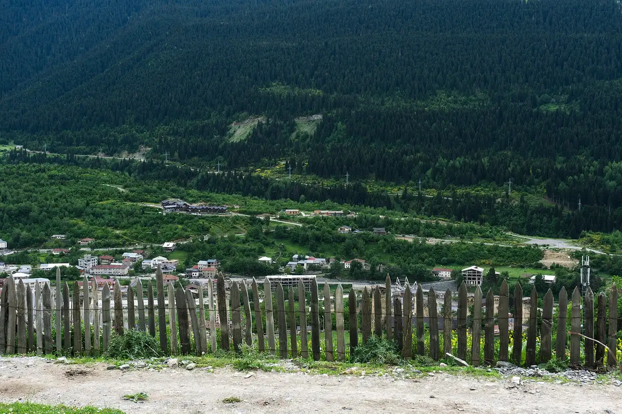
This is a good first multi-day trek. There’s no heavy pack, no camping and no cooking: every evening you reach a village with a bed, a shower and a hot dinner. The grade is moderate, but don’t be fooled by the word “guesthouses” - days 2 and 3 each climb close to a thousand metres, and day 3, with its river ford and pass, is genuinely tiring. If you hike now and then and don’t mind a long day, you’ll manage. If this is your very first trek, take four days rather than three: the extra night in Iprari takes the pressure off the hard middle.
You don’t have to carry everything, either. In the villages you can arrange for a pack horse to move your bag to the next stop while you walk light, and at the river in high water locals will carry you across on horseback - more on that below.
Season: it all comes down to water and snow
The trek runs from roughly mid-June to mid-October, but choose your month with care, because everything hinges on one river and one pass.
- June is the highest water. The Adishchala ford can be thigh-deep and genuinely dangerous then; don’t attempt it without a horse. There’s still snow on the pass.
- July and August bring the most settled weather and the peak season. It’s busier, but the trail is dry and there are always horses waiting at the river.
- September is the best month for many: the river drops to its lowest (people often wade across), there are fewer crowds and the autumn colours start.
- October is the edge of the season. It’s lovely lower down, but snow can already fall on the pass and the weather window is short.
Nobody hikes it in winter - snow closes the pass and the approaches. Whatever the forecast promises, weather in the Svaneti mountains turns within the hour, so a rain shell and a warm layer go in the pack in any month.
Day 1: Mestia to Zhabeshi
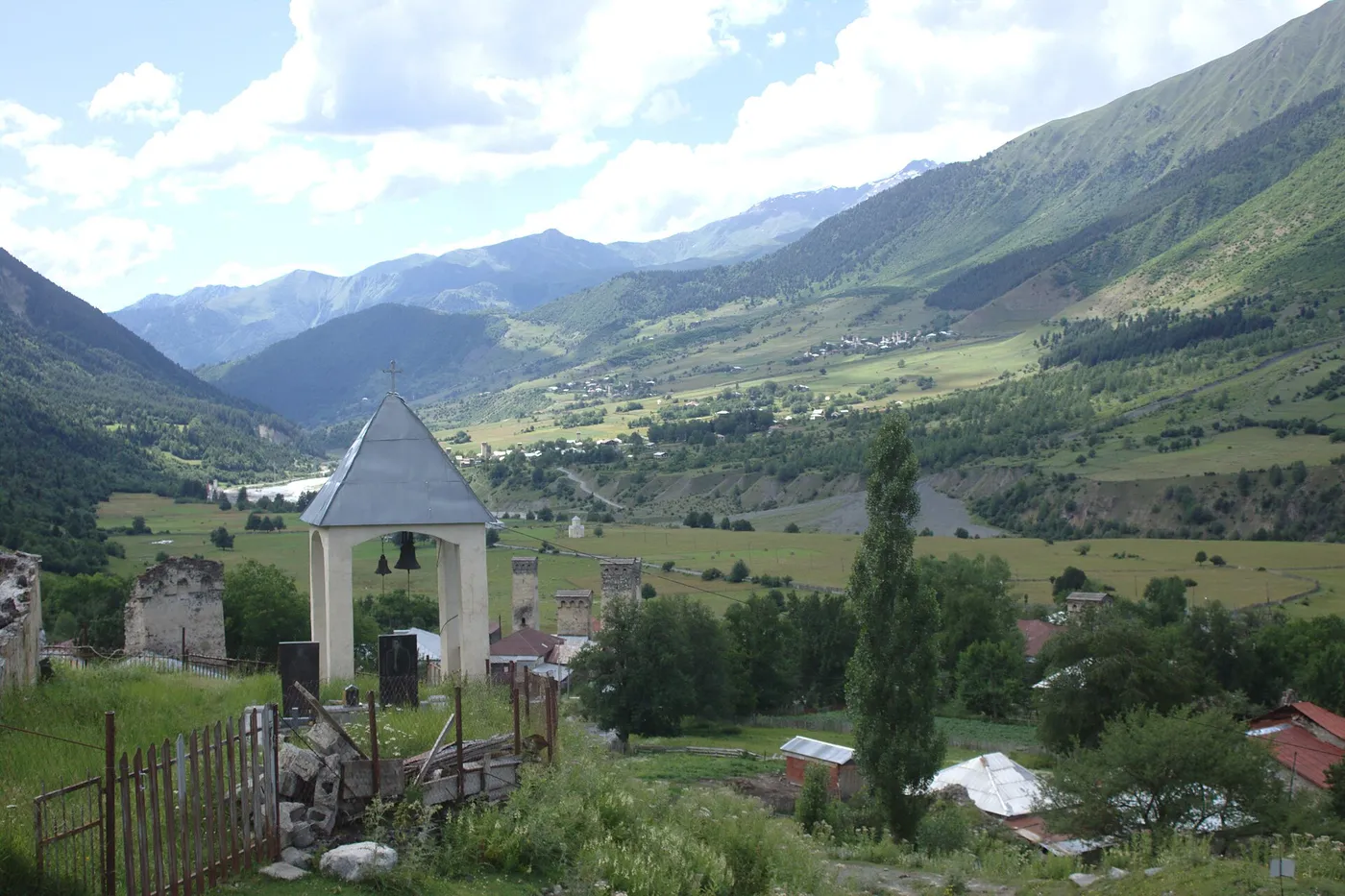
An easy warm-up, about 16-18 km and roughly 700 m of gain over 4-6 hours. From Mestia the trail runs east down the Mulakhi valley - first along the river, past villages with towers, with no steep climbs. This is the day to loosen up, test your boots and not burn out by the first evening. The night is in Zhabeshi, a Svan village with a fine view down the green sweep of the valley.
Day 2: Zhabeshi to Adishi
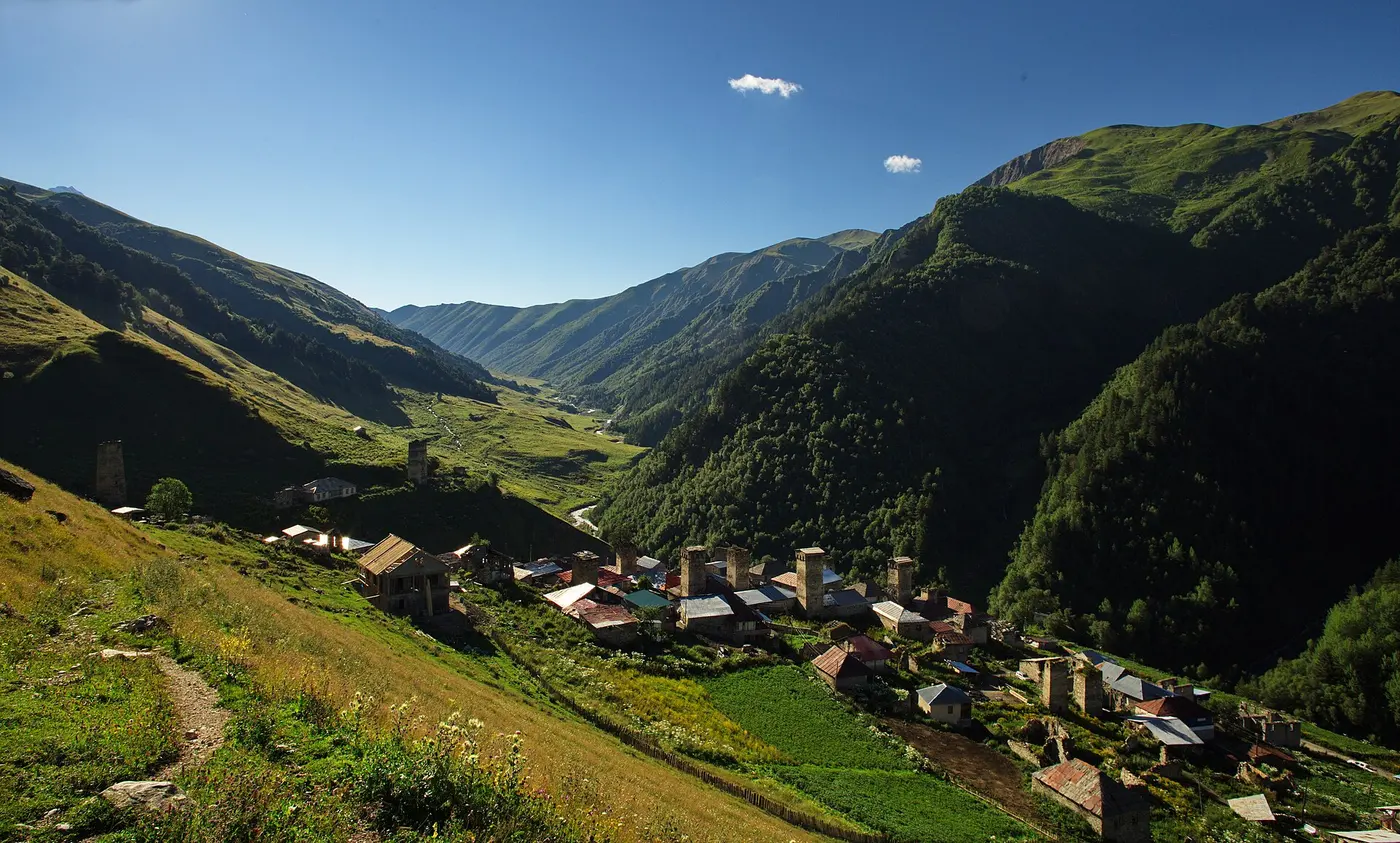
Short on paper (10-12 km) but with a bite: around 900 m of gain over 3-5 hours. From Zhabeshi the trail climbs steeply through forest to a ridge (a saddle somewhere above 2,500 m), then drops into Adishi. This is the remotest village on the route, just a few homesteads at about 2,000 m. Power and signal come and go in patches, and guesthouses are few, so evenings can get crowded in season.
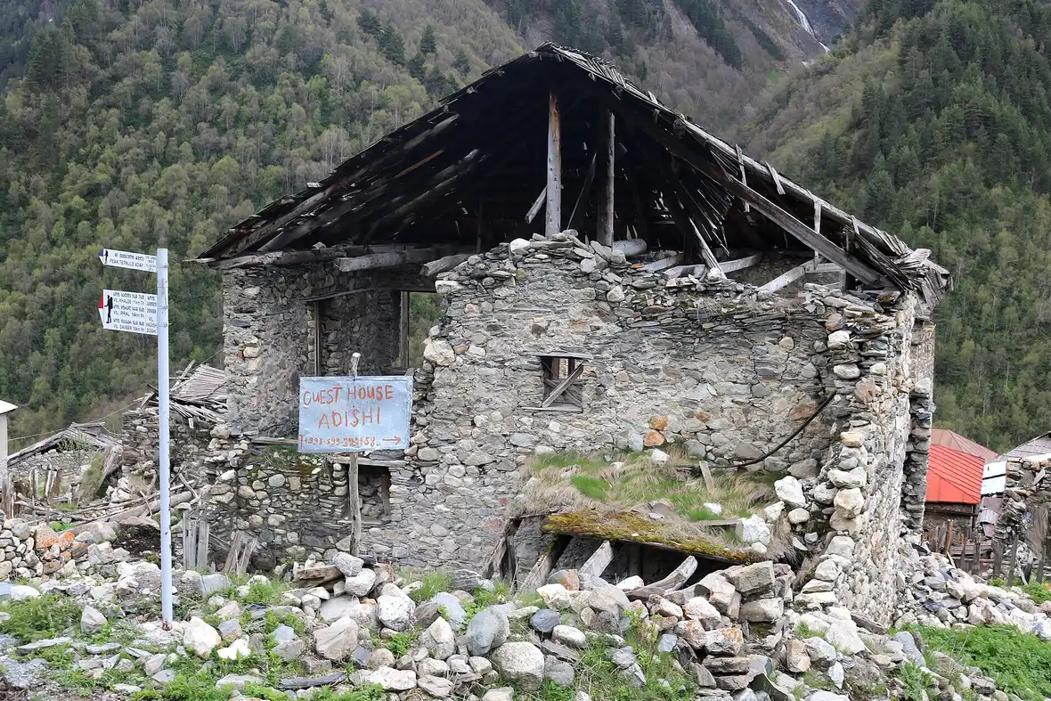
Booking a bed in Adishi ahead is hard: not everyone has a phone and the internet drops out. In practice either your previous host phones ahead and arranges it, or you knock on a door with a sign. In high season it pays to leave Zhabeshi early so you’re not left without a room.
Day 3: Adishi to the pass to Iprari
The longest, hardest day: about 18-19 km, about 860-900 m of gain and a longer descent of around 1,000-1,070 m, 6-9 hours on your feet. This is the day the four-day plan is built around.
About an hour past Adishi (roughly 5-6 km) the trail reaches the Adishchala river ford below the tongue of the Adishi Glacier - the only serious crossing on the route. In June to August the water is high and the current strong, and wading can be dangerous; that is why locals wait at the river with horses and will carry you and your pack across for 20-30 GEL a person. By September and October the water drops and many wade it themselves, but you need poles for that. Don’t play the hero: if the water is above the knee and pushing hard, pay for the horse - this is exactly the moment for it.
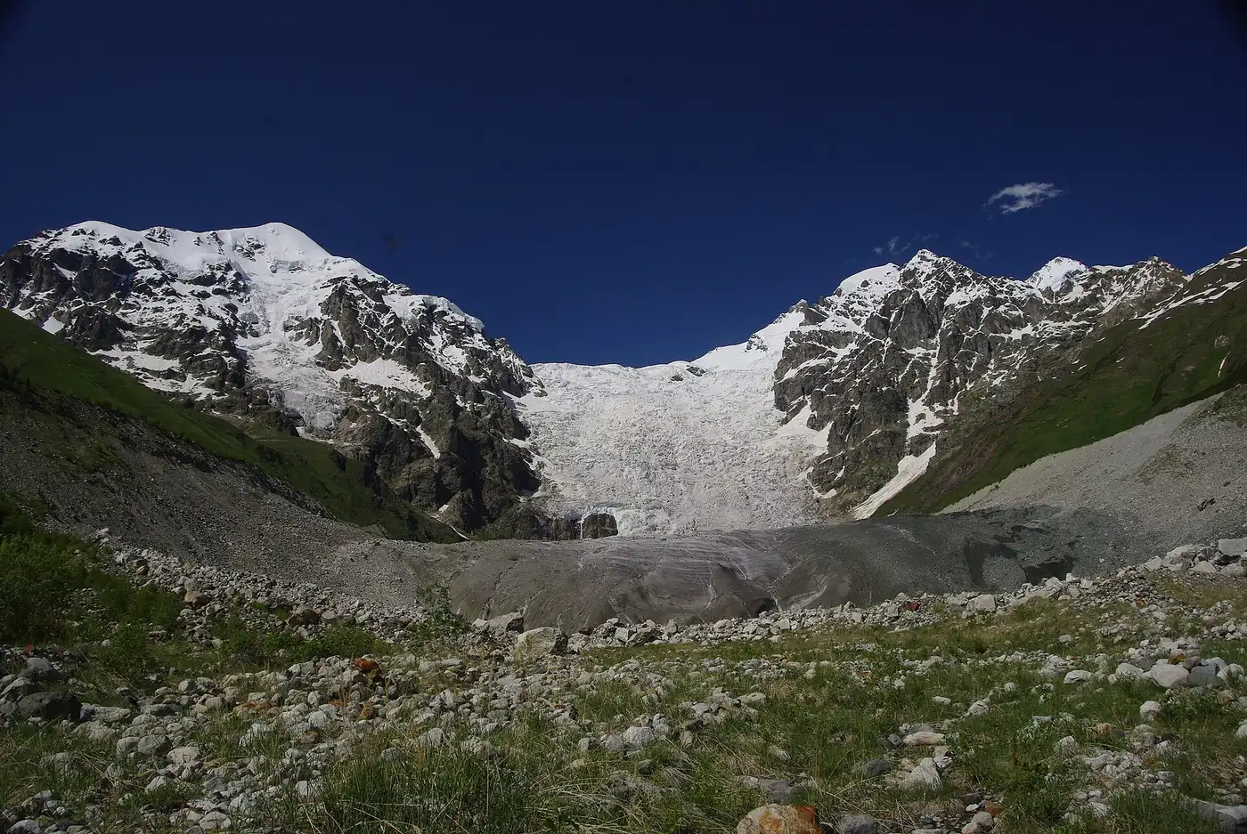
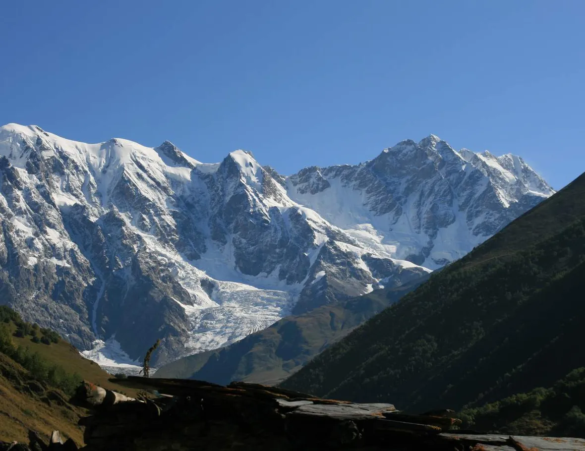
After the ford comes the main climb of the day - about two hours of climbing up to Chkhutnieri Pass (also spelled Chkhunderi on some English maps), the high point of the trek at 2,650-2,720 m (sources disagree on the exact figure). It’s windy and cold up top even in July, but the reward is the full snowy wall of the Shkhara massif. From there it’s a long descent down the valley to Iprari (or neighbouring Khalde) for night three.
Day 4: Iprari to Ushguli
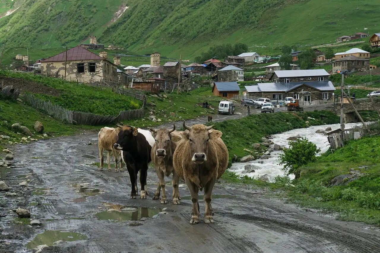
An easier finish: 10-12 km, about 630-680 m of gain, 3-4 hours. The trail leads into Ushguli - a community of stone towers under the Shkhara massif, a UNESCO site and one of the highest continuously inhabited places in Europe (~2,100 m). After four days of climbing, walking in here rather than arriving by jeep is a completely different feeling.
Beds, money and getting back
You sleep in guesthouses - local family homes with half-board (dinner and breakfast included). Reckon on 50-80 GEL a person a night in the villages and 60-100 GEL in Ushguli. A self-guided trek comes to roughly 300-450 GEL all in: three nights with meals, the return marshrutka and snacks for the trail; a guide or a pack horse costs more. Bring cash in lari - there are no ATMs or card terminals in the villages, so there’s nowhere to pay by card.
From Ushguli back to Mestia a marshrutka or shared jeep runs for 40-50 GEL a person - about two hours of jolting along a rough road (~45 km). There’s usually a morning departure and a couple in the afternoon, timed for groups coming off the trek; a private car is faster but costs around 200 GEL. From Mestia you carry on to Kutaisi or Tbilisi; if you plan to pick up a car for the rest of Georgia, it’s easiest to sort that in advance once you’re back down.
What to bring
- Broken-in hiking boots and trekking poles - poles matter both at the ford and on the long descents of day 3.
- A rain shell and rain trousers, plus a warm layer: the pass is cold and windy even in summer.
- Sandals or camp shoes for the ford - there’s no need to cross the river in your boots.
- 2+ litres of water, snacks, sun cream and sunglasses (the sun bites at altitude).
- Cash in lari and an offline map (the trail leaves signal in places, so download a Svaneti map in advance).
- You can genuinely lighten the pack by arranging a horse to carry your bag on the hard days.
Solo or with a guide
The trek is comfortably done self-guided: the trail reads clearly, the nights are in villages and it’s hard to get lost. A guide or an organised tour makes sense if you would rather not think about logistics, beds or the language at all - then it is all booked for you, and there’s someone beside you at the ford and the pass who walks this every season. The middle option is to hike it yourself but hire a horse for your pack on the tough days.
If Svaneti has you hooked and you want more high country with towers, the far end of Georgia has Tusheti - reached by jeep over the Abano Pass, with hiking trails threading the national park valleys too. For more ideas, see the routes section.
Route day by day
- Days on the road
- 4
- Distance
- ≈58 km
- Budget from
- 300 GEL per person, whole trip
- Best season
- June, July, August, September
-
Mestia
Route startThe trailhead, capital of Upper Svaneti (~1,500 m). Get here in advance; the trail heads east down the Mulakhi valley.
Photo: Alexey Komarov / Wikimedia Commons, CC BY-SA 4.0 ( source) -
Zhabeshi
17 km from the startstop ≈60 min
Night 1. A Svan village in the Mulakhi valley with stone towers - an easy warm-up day on a good trail along the river.
Photo: Aktron / Wikimedia Commons, CC BY-SA 4.0 ( source) -
Adishi
28 km from the startstop ≈60 min
Night 2. The remotest village on the trek (~2,000 m): a handful of family guesthouses, patchy power and signal. Trail signs point on to Iprari and Khalde.
Photo: Maesi64 / Wikimedia Commons, CC0 ( source) -
Chkhutnieri Pass
38 km from the startstop ≈20 min
The high point of the trek, ~2,650-2,720 m (Chkhunderi on some maps). Below it is the Adishchala river ford by the Adishi Glacier; the pass opens up the Shkhara massif.
Photo: Aleksey Muhranoff / Wikimedia Commons, CC BY-SA 3.0 ( source) -
Iprari
47 km from the startstop ≈60 min
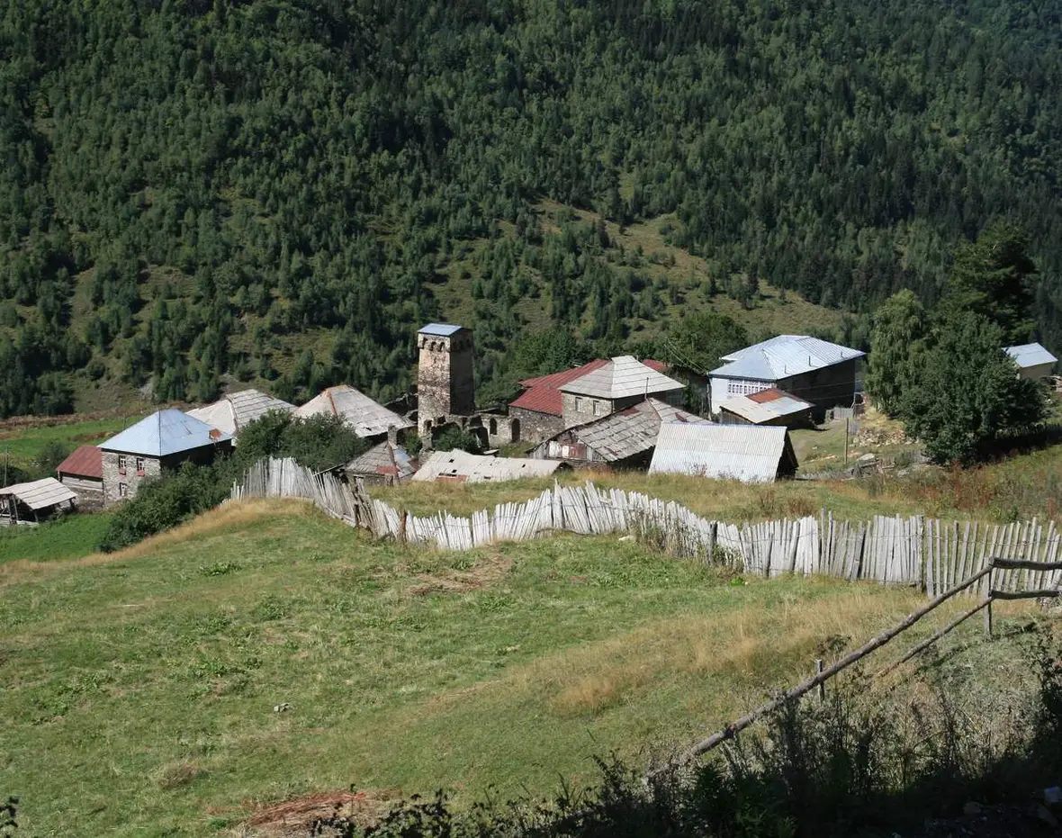
Night 3. A small Svan village with a tower on a forested slope (neighbouring Khalde also works for the night). Half a day of walking left to Ushguli.
Photo: Aleksey Muhranoff / Wikimedia Commons, CC BY-SA 3.0 ( source) -
Ushguli
58 km from the startstop ≈120 min
The finish (~2,100 m), a UNESCO site below Shkhara and one of the highest continuously inhabited places in Europe. Return to Mestia by marshrutka or jeep.
Photo: Alexey Komarov / Wikimedia Commons, CC BY-SA 4.0 ( source)
Route map
The map with stops loads on click - to keep the page lightweight.
The map didn’t load. Check your connection and refresh the page.