
Borjomi-Kharagauli Park: trails and how to get there
Borjomi-Kharagauli National Park: over 1,000 km² in the Lesser Caucasus, with marked hiking and horse-riding trails. Why it matters and how to get there.
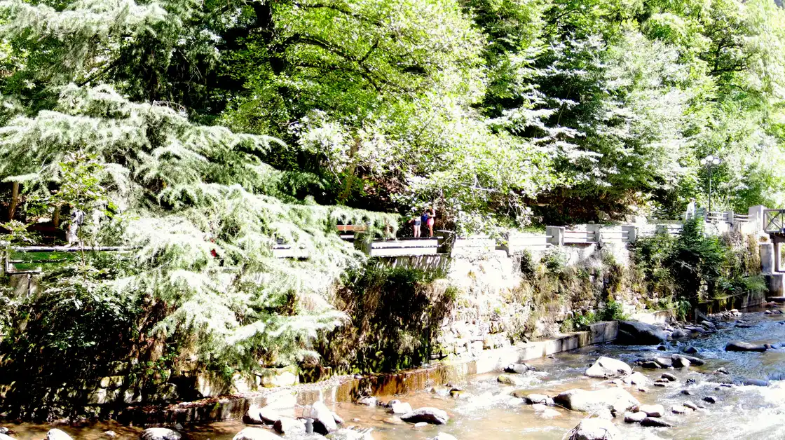
Borjomi-Kharagauli is one of the largest national parks in Georgia and in all of Europe: more than 1,000 km² of mountain forest in the Lesser Caucasus, with a network of hiking and horse-riding trails. This is a place not for a single photo but for a hike - for a day or several, with overnight stops in shelters among the forest.
In short: people come here not to “see a sight” but to spend time on the trail. Unlike single spots such as a fortress or a monastery, the park works differently - you pick a route to match your energy and time, register, and head into the forest. Below is what kind of park it is, what trails there are, how to get in, and what to keep in mind so the hike goes smoothly.
Why the park is famous
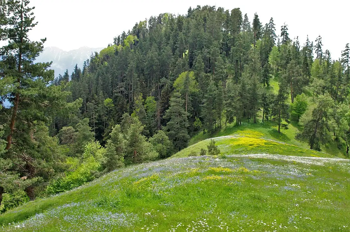
The park was founded in 1995 - with support from the World Wide Fund for Nature (WWF) and the German government - and opened to visitors in 2001. It was the first national park in the Caucasus, and it remains one of the largest in Europe: its territory exceeds 1,000 km² (over 100,000 hectares) and spans six municipalities - from the resort of Borjomi and Kharagauli to Akhaltsikhe, Adigeni, Khashuri and Baghdati. The park later joined the European PAN Parks network of protected areas, a mark of quality for both its wilderness and its visitor infrastructure.
It is a vast forest massif in the Lesser Caucasus, rich in plant and animal life: red deer, roe deer and chamois live here, and among the larger predators there are brown bear, wolf and lynx. Most of the animals are wary and rarely seen, but signs of them show up along the trails, and the park is one of the few places in Georgia where you really feel you’re walking through genuine wild country. The park’s main draw for travellers, though, is its developed, well-marked network of trails, which makes it an easy place for independent hiking without a guide.
What to see and do
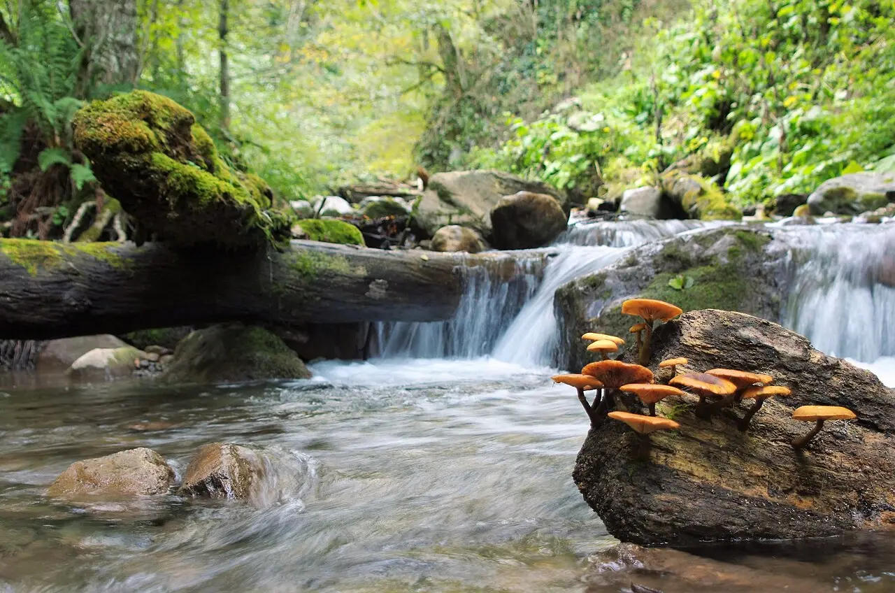
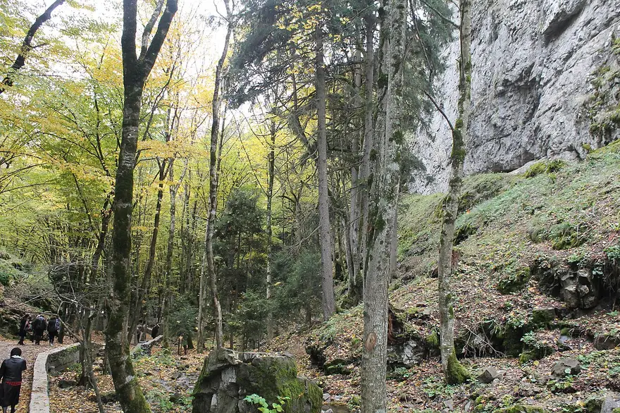
The park has routes for every level of energy: from short walks of a couple of hours to multi-day treks with overnight stays in mountain shelters. The trails lead through beech and coniferous forest, along streams, to viewpoints and meadows. Along the way you come across springs and campsites, and in autumn the forest is especially beautiful. The main thing is to pick a route within your ability and to register before you set off.
What trails there are
The trails in the park are numbered and waymarked, each with its own name - which is handy, because you can size up the distance and time in advance. For a day out, the short routes are good: for example, an information trail of about 3 km straight from the visitor centre (a couple of hours at an easy pace), or the Likani Valley trail (number 12), a 7 km loop of about four hours. The short information trail suits families with children and anyone who just wants to “sample” the park without a serious effort. Among the tougher day options is the “footprint trail” of around 17 km, a full day’s walk with a noticeable climb. Between these extremes there are middle options too, so matching a route to your fitness and time is easy enough.
The real highlight of the park is the multi-day treks with overnight stops in shelters. The best-known is Nikoloz Romanov’s Trail: 43 km over three days, it crosses the park from the Likani guard station near Borjomi to the Marelisi guard station, losing a lot of height towards the end. There’s also a panorama route of 34 km (two days) with the most open views of the ridges, and the long St Andrew’s Trail - around 54 km, walked over four to five days. Always check the exact lengths and the state of specific trails at the visitor centre: some routes close seasonally, and the figures vary a little between sources.
Some routes are open not just to walkers but to riders - horse-riding tours run through the park, a good option if you want to cover a long stretch without the full load on your legs. Overnight stops on the multi-day trails are in simple wooden shelters and at equipped campsites; there’s no luxury, but there’s a roof, a place for a tent and usually a water source nearby. It’s precisely this thought-out infrastructure - marked trails, shelters, ranger-staffed guard stations - that sets Borjomi-Kharagauli apart from wandering into the wild at random: you can walk for days away from roads, but with clear logistics and a fallback if the weather turns.
A word about the views. A large part of the park is dense forest, and on the short trails you mostly walk under the canopy; the genuinely open panoramas over the ridges of the Lesser Caucasus start higher up, on the meadow sections and crests that the panorama route and the long trails reach. So if you’re coming specifically for the big views rather than just a forest walk, allow at least one full day and a more serious route.
What to keep in mind for a visit
Before a hike, call in at a visitor centre (Borjomi, 23 Meskheti St, or Kharagauli, 17 King Solomon St - Atskuri is an entrance and campsite, not a visitor centre), pick up a map and check the state of the trails and the weather. The main visitor centre and park administration are in Borjomi, on Meskheti Street; a second centre operates in Kharagauli, on the other side of the massif. Registering before you set out on a trail is compulsory and free: they’ll issue a permit for your route, for which you’ll need a passport or ID card. This isn’t box-ticking bureaucracy but safety - if something happens, the rangers know who to look for and where.
There’s a token fee for staying overnight in the park: roughly a few lari for a campsite pitch and noticeably more for a bunk in a shelter (check current rates at the visitor centre
- they change). Long routes call for water, a rain jacket and a warm layer: in the mountains it’s cool even in summer and the weather changes fast. Plan overnight stays in shelters and campsites in advance.
Bring food and water for the trail: there are no shops inside the park, and you can only stock up in Borjomi or Kharagauli before you head out. Mobile signal is patchy deep in the massif, so it’s best to agree your route and overnight points in advance and leave a plan at the visitor centre. In summer, insect repellent and a hat come in handy; in spring and autumn, waterproof footwear - the trails get soggy after rain. And don’t chase distance for its own sake - the elevation changes here are real, and it’s better to enjoy a short route than to crawl along a long one on your last legs.
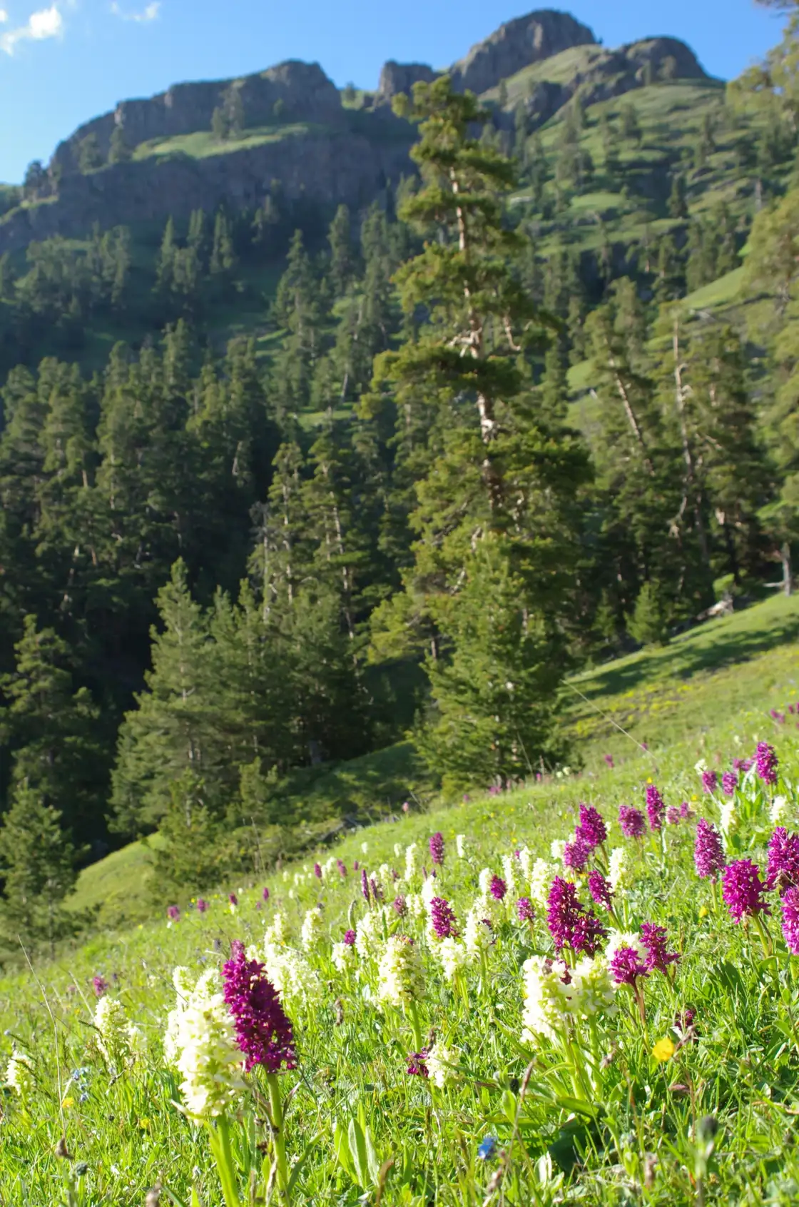
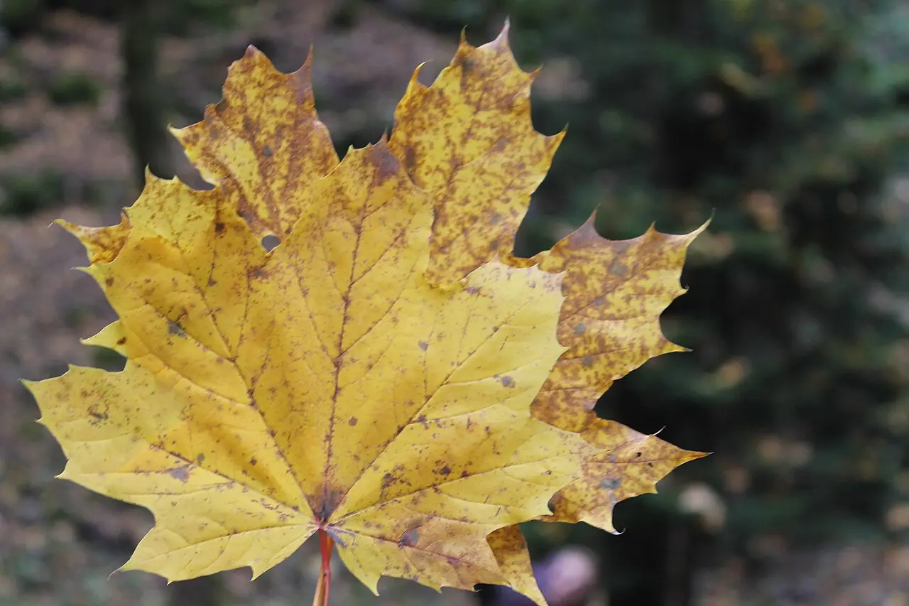
The best time for hiking is from late spring to early autumn; in May and June the slopes are in rhododendron bloom, and in October the forest turns gold. Winter isn’t for casual walks: snow settles higher up, some trails close, and in the cold season people mostly go out on snowshoes along specially marked routes.
Getting there and where to start
Combine the trail with an overnight in Borjomi or Bakuriani using our Borjomi-Bakuriani weekend route.
The easiest way in is from the Borjomi side - about 160 km from Tbilisi, roughly 2.5 hours by road (the train takes 4 h 12 min) by train or car; the main visitor centre, where routes are arranged, is in Borjomi itself. The park has several entry points, and which one you choose determines which trails are closest. The Likani guard station, a couple of kilometres from Borjomi, is a handy start for day and long routes on the eastern side of the park; from the west you enter via Marelisi (Kharagauli district), and from the south via Atskuri, which also has a checkpoint. A train runs between Borjomi and Kharagauli, so you can plan through-routes across the whole massif with a drop-off at one end and a pick-up at the other - useful if you don’t want to double back along the same trail.
Getting there by public transport is doable but involves changes, so many people take a car: it’s easier to drive up to the guard station you want and not depend on timetables. Whichever entry point you use, start at the visitor centre: they’ll give you a map, tell you which trails are open right now, and handle your registration. For how to rent a car in Georgia, see the car hire section; Borjomi, with its lodging and cafés, makes a convenient base.
A day trip from Tbilisi is possible in theory, but then only a few hours are left for the trail itself - it’s better to stay overnight in Borjomi and set off in the morning while it’s fresh and light. A single short visit only reveals part of the park: to feel its scale, set aside at least a full day, and ideally stay for a multi-day trek.
Nearby
The resort of Borjomi, with its mineral waters, makes a base for a hike, and not far away in the mountains lies the ski resort of Bakuriani. The region’s sights are easier to tour by car - for how to rent one, see the car hire section; other places are in the things to see section.
Photos
On the map
The map loads on click - to keep the page lightweight.
The map didn’t load. Check your connection and refresh the page.
Distance
- Tbilisi ≈160 km · ~2.5 h train or car, visitor centre in Borjomi
- Kutaisi ≈175 km · ~3 h approximate
- Batumi ≈290 km · ~5 h approximate
Read also

What to see · 10 min read
Skiing in Georgia: Gudauri vs Bakuriani
Updated · September 5, 2026Gudauri or Bakuriani: 2025/26 day passes 70 vs 55 GEL, elevations, last season dates, who each resort suits and how to get there.

What to see · 7 min read
Svaneti travel guide: Mestia, Ushguli and towers
Verified · August 25, 2026Svaneti mapped: Mestia vs Ushguli, tower villages, season, and how to link town guides, the trek, and the road from Tbilisi.

What to see · 9 min read
Resorts near Batumi: Gonio, Kvariati & Tsikhisdziri
Updated · September 2, 2026Where to stay near Batumi for cleaner, quieter beaches: Gonio and its Roman fort, Kvariati for diving, and secluded clifftop Tsikhisdziri - how to choose.

What to see · 10 min read
Georgia with kids 2026: family beaches & resorts
Updated · July 18, 2026Georgia with kids: sandy, shallow beaches up north (Ureki, Shekvetili, Kobuleti), amusement parks, when to go and how to plan a family trip.